Primrose Hill Historic District, Belfast

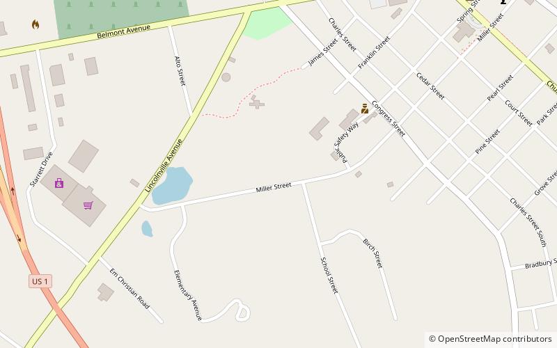
Map
Facts and practical information
The Primrose Hill Historic District encompasses a group of high-quality 19th century residences in Belfast, Maine. Set on Church and High Streets between Primrose and Anderson, this area is where the elite of early 19th-century Belfast built their homes. Four of the five most prominent houses are Federal, while one is Gothic Revival in style. The district was listed on the National Register of Historic Places in 1973. ()
Coordinates: 44°25'16"N, 69°0'44"W
Address
Belfast
ContactAdd
Social media
Add
Day trips
Primrose Hill Historic District – popular in the area (distance from the attraction)
Nearby attractions include: Timberwind, Belfast Area Chamber of Commerce, First Church of Belfast, Perry's Nut House.
Frequently Asked Questions (FAQ)
Which popular attractions are close to Primrose Hill Historic District?
Nearby attractions include First Church of Belfast, Belfast (9 min walk), Hayford Block, Belfast (10 min walk), Belfast Commercial Historic District, Belfast (11 min walk), Belfast Free Library, Belfast (12 min walk).


