Emily Kimbrough Historic District, Muncie
Map

Map

Facts and practical information
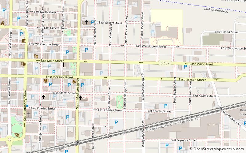
The Emily Kimbrough Historic District is a historical neighborhood in downtown Muncie, Indiana, USA. Established as a Muncie local historical district in 1976, it was eventually added to the National Register of Historic Places on November 13, 1980. The district is bounded by Monroe, East Washington, Hackley and East Charles Streets. The boundaries were later increased to roughly East Gilbert, Beacon Street, East Charles Street and Madison Street on June 29, 1989. ()
Architectural style: Renaissance revivalCoordinates: 40°11'34"N, 85°22'43"W
Address
East CentralMuncie
ContactAdd
Social media
Add
Day trips
Emily Kimbrough Historic District – popular in the area (distance from the attraction)
Nearby attractions include: Minnetrista, West Washington Street Bridge, First Baptist Church, Appeal to the Great Spirit statue.
Frequently Asked Questions (FAQ)
Which popular attractions are close to Emily Kimbrough Historic District?
Nearby attractions include Masonic Temple, Muncie (4 min walk), Goldsmith C. Gilbert Historic District, Muncie (8 min walk), Carnegie Library, Muncie (8 min walk), J.C. Johnson House, Muncie (8 min walk).
How to get to Emily Kimbrough Historic District by public transport?
The nearest stations to Emily Kimbrough Historic District:
Bus
Bus
- MITS Station - Downtown • Lines: 1, 10, 11, 12, 14, 16, 2, 3, 4, 5, 6, 7, 8, 9 (12 min walk)
- MITS Terminal (12 min walk)


