Tanbark, Lexington
Map
Facts and practical information
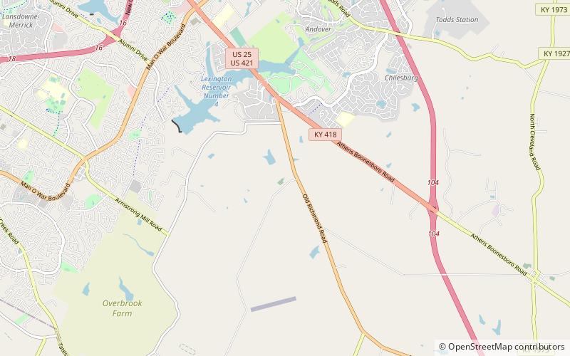
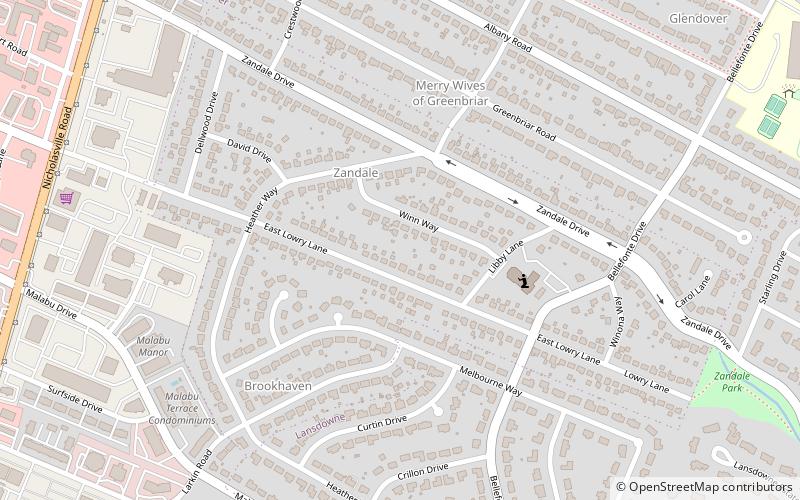
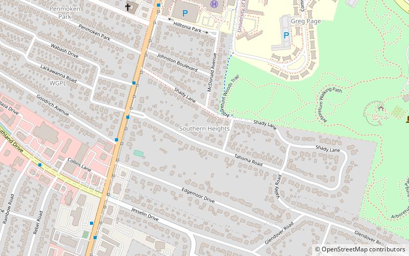
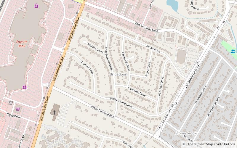
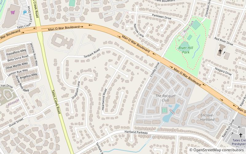
Tanbark is a neighborhood in southeastern Lexington, Kentucky, United States. Its boundaries are Man o' War Boulevard to the north, Tates Creek Road to the west, Hartland Parkway to the south, and Rapid Run Drive to the east. ()
Coordinates: 37°58'1"N, 84°29'28"W
Address
Boone CreekLexington
ContactAdd
Social media
Add
Day trips
Tanbark – popular in the area (distance from the attraction)
Nearby attractions include: The Mall at Lexington Green, Fayette Mall, Waveland State Historic Site, Wellington Dog Park.


