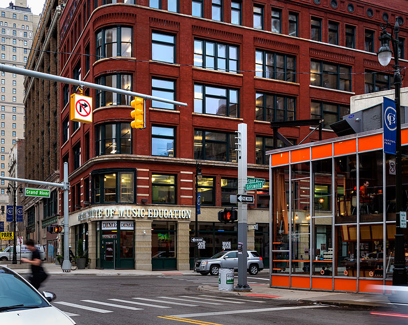
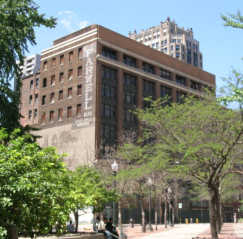
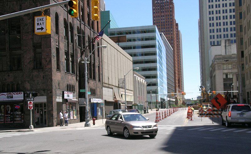
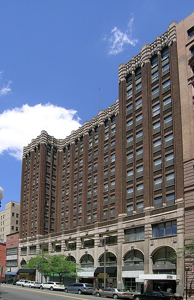
Capitol Park Historic District, Detroit
Map
Gallery
Facts and practical information
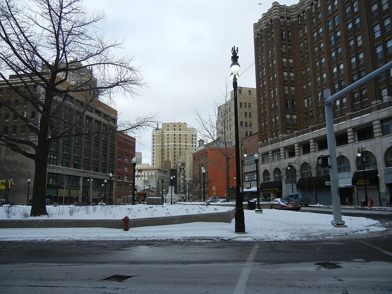
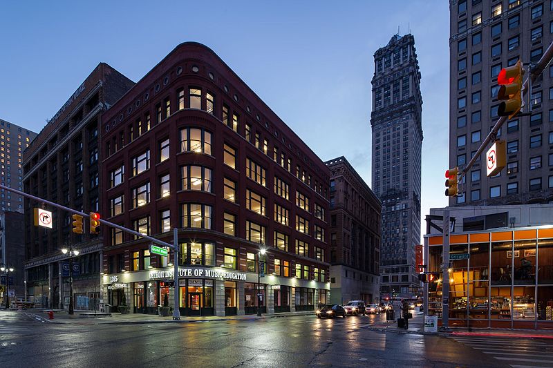
The Capitol Park Historic District is a historic district located in downtown Detroit, Michigan. It is roughly bounded by Grand River, Woodward and Michigan Avenues, and Washington Boulevard. The district was listed on the National Register of Historic Places in 1999. ()
Coordinates: 42°19'56"N, 83°2'57"W
Address
1145 Griswold StreetDowntown DetroitDetroit
ContactAdd
Social media
Add
Day trips
Capitol Park Historic District – popular in the area (distance from the attraction)
Nearby attractions include: Cliff Bell's, Huntington Place, Campus Martius Park, Detroit Opera House.
Frequently Asked Questions (FAQ)
Which popular attractions are close to Capitol Park Historic District?
Nearby attractions include David Stott Building, Detroit (1 min walk), The Albert, Detroit (2 min walk), Washington Boulevard Building, Detroit (2 min walk), 1212 Griswold, Detroit (2 min walk).
How to get to Capitol Park Historic District by public transport?
The nearest stations to Capitol Park Historic District:
Bus
Tram
Light rail
Bus
- Woodward / Gratiot NS • Lines: 04 (3 min walk)
- Michigan / Washington • Lines: 255, 530, 620, 830, 851, 92 (3 min walk)
Tram
- Campus Martius • Lines: QLine (3 min walk)
- Congress Street • Lines: QLine (7 min walk)
Light rail
- Michigan • Lines: Dpm (5 min walk)
- Times Square • Lines: Dpm (5 min walk)


