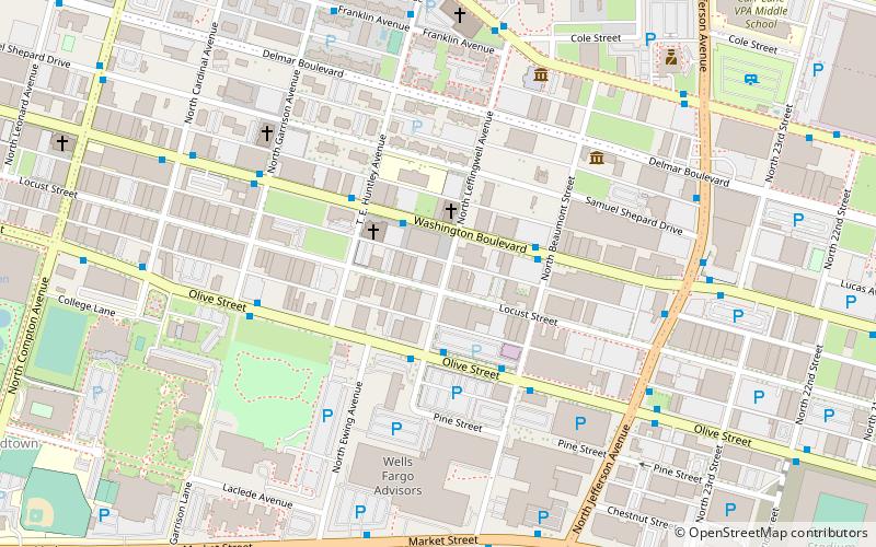
More Automobile Company Building, St. Louis
Map

Map

Facts and practical information
The More Automobile Company Building, at 2801 Locust St. in St. Louis, Missouri, was built in 1920. It was listed on the National Register of Historic Places in 2008. ()
Coordinates: 38°38'7"N, 90°13'5"W
Address
MidtownSt. Louis
ContactAdd
Social media
Add
Day trips
More Automobile Company Building – popular in the area (distance from the attraction)
Nearby attractions include: Chaifetz Arena, Powell Hall, Aloe Plaza, Scott Joplin House State Historic Site.
Frequently Asked Questions (FAQ)
Which popular attractions are close to More Automobile Company Building?
Nearby attractions include Central Baptist Church, St. Louis (3 min walk), Scott Joplin House State Historic Site, St. Louis (6 min walk), Locust Street Automotive District, St. Louis (8 min walk), St Louis Food Truck Park, St. Louis (11 min walk).
How to get to More Automobile Company Building by public transport?
The nearest stations to More Automobile Company Building:
Light rail
Bus
Train
Light rail
- Union Station • Lines: Blue, Red (22 min walk)
- Grand • Lines: Blue, Red (26 min walk)
Bus
- P • Lines: 174X (28 min walk)
- N • Lines: 74 (28 min walk)
Train
- Saint Louis (28 min walk)


