Old Republic Building, Chicago

Map
Facts and practical information
The Old Republic Building, at 307 North Michigan Avenue in Chicago, Illinois, was built in 1924. It was designed by architects Vitzthum & Burns. ()
Coordinates: 41°53'14"N, 87°37'27"W
Address
307 North Michigan AvenueDowntown (The Loop)Chicago
ContactAdd
Social media
Add
Getting there by public transportation
Public transportation stops near this location
- Metro
- Bus
- Train
 Metro
Metro
- Calculate routeMichigan & South Water 1 min walk
- Calculate routeSouth Water & Michigan 1 min walk
- Calculate routeLower South Water & Michigan 2 min walk
- Calculate routeMichigan & Wacker 2 min walk
- Calculate routeMillennium Station 5 min walk
- Calculate routeVan Buren Street 18 min walk
- Calculate routeOgilvie Transportation Center 23 min walk
- Calculate routeLaSalle Street Station 24 min walk
- Calculate routeState/Lake 6 min walk
- Calculate routeLake 6 min walk
- Calculate routeWashington/Wabash 8 min walk
- Calculate routeGrand 10 min walk
Maps Rail "L"
Rail "L"Day trips
Old Republic Building – popular in the area (distance from the attraction)
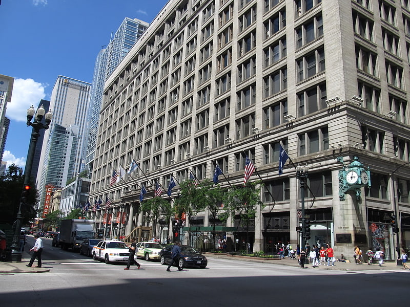
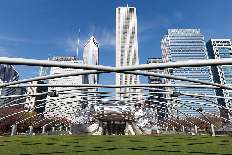
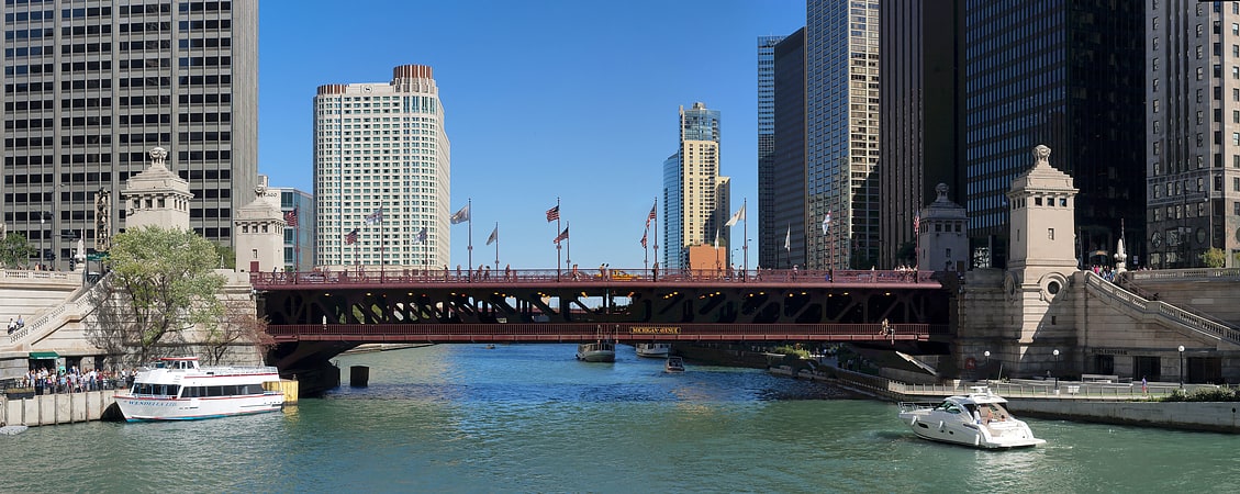
Nearby attractions include: Macy's, Architecture Center, Jay Pritzker Pavilion, Michigan Avenue Bridge.


Frequently Asked Questions (FAQ)
Which popular attractions are close to Old Republic Building?
Nearby attractions include Carbide & Carbon Building, Chicago (2 min walk), 333 North Michigan, Chicago (2 min walk), Mather Tower, Chicago (2 min walk), Seventeenth Church of Christ, Chicago (3 min walk).
How to get to Old Republic Building by public transport?
The nearest stations to Old Republic Building:
Bus
Train
Metro
Bus
- Michigan & South Water • Lines: 124, 143, 146, 147, 148, 151, 157, 20, 26, 3, 6, 850, 851, 855, (N) N66 (1 min walk)
- South Water & Michigan • Lines: 124, 4, (N) N4 (1 min walk)
Train
- Millennium Station (5 min walk)
- Van Buren Street (18 min walk)
Metro
- State/Lake • Lines: Brown, Green, Orange, Pink, Purple (6 min walk)
- Lake • Lines: Red (6 min walk)