Park DuValle, Louisville
Map
Facts and practical information
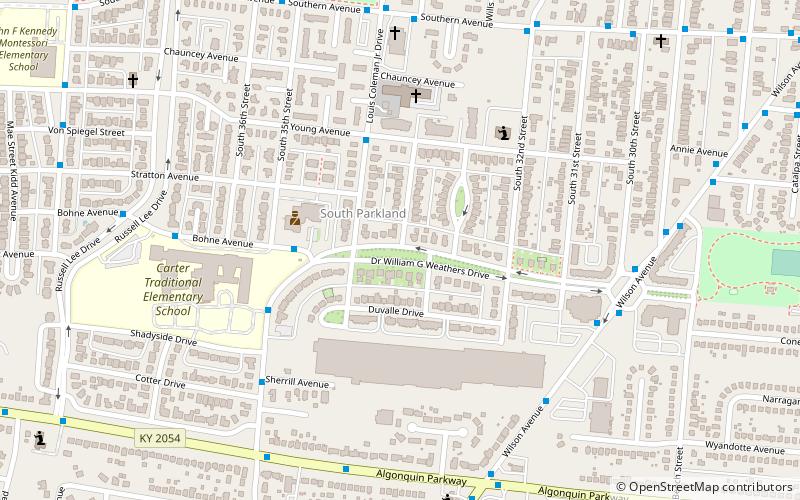
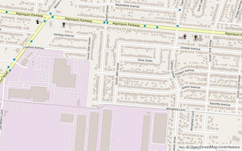
Park DuValle is a neighborhood southwest of downtown Louisville, Kentucky. Its boundaries are I-264 to the west, the Norfolk Southern Railway tracks to the north, Cypress Street to the east, and Bells Lane and Algonquin Parkway to the south. The neighborhood reflects the presence of several nearby parks, and DuValle Junior High School, named after Lucie DuValle, the first female principal of a high school in Louisville. ()
Coordinates: 38°13'42"N, 85°48'40"W
Address
Central Louisville (Park Duvalle)Louisville
ContactAdd
Social media
Add
Getting there by public transportation
Public transportation stops near this location
- Bus
 Bus
Bus
- Calculate routeLouis Coleman Jr / Stratton 2 min walk
- Calculate routeBohne / 35th 4 min walk
- Calculate route35th / Duvalle 5 min walk
Day trips


Frequently Asked Questions (FAQ)
How to get to Park DuValle by public transport?
The nearest stations to Park DuValle:
Bus
Bus
- Louis Coleman Jr / Stratton • Lines: 22South (2 min walk)
- Bohne / 35th • Lines: 22North, 22South (4 min walk)