Grand Forks Riverside Neighborhood Historic District, Grand Forks

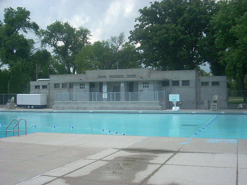
Gallery (2)
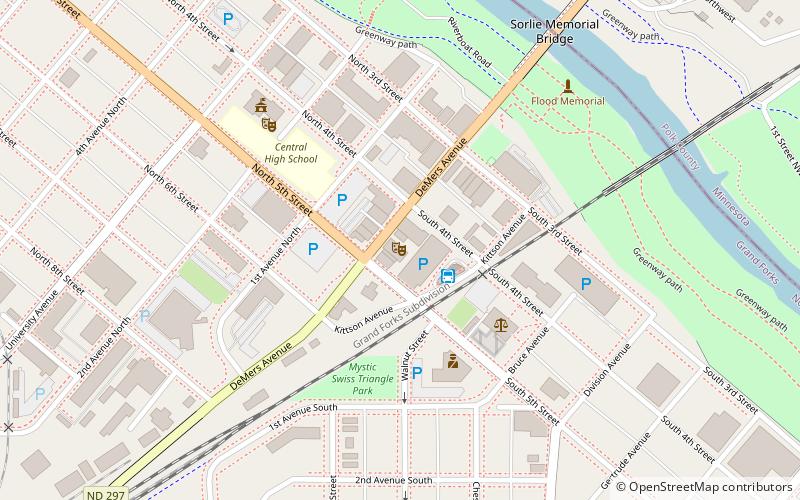
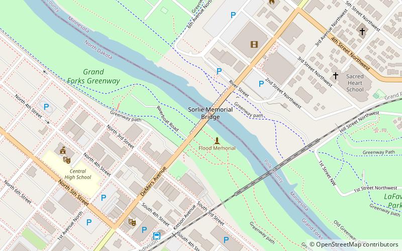
Map
Map
Gallery
Facts and practical information
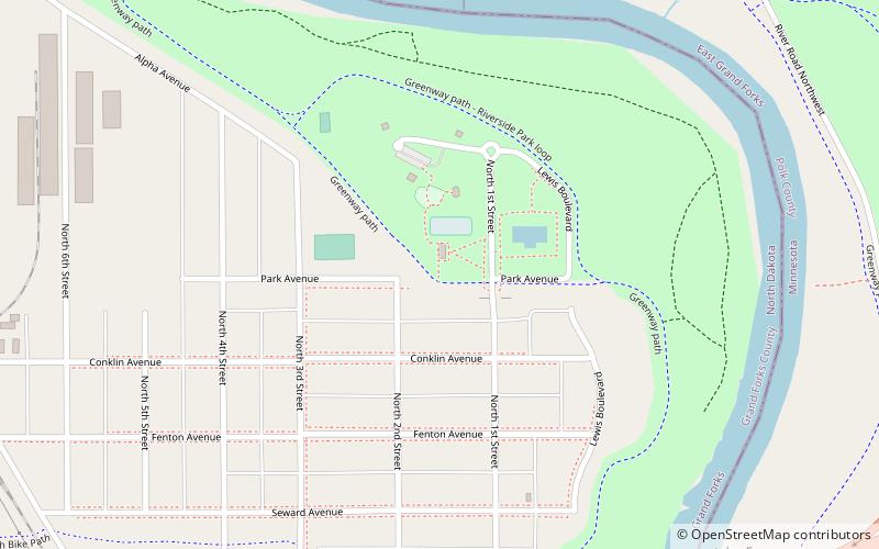
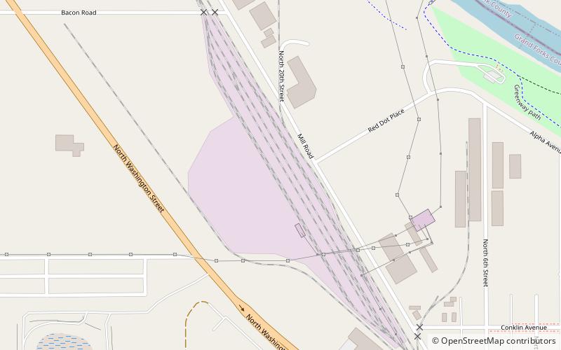
The Grand Forks Riverside Neighborhood Historic District is a 112-acre historic district in Grand Forks, North Dakota that was listed on the National Register of Historic Places in 2007. ()
Coordinates: 47°56'14"N, 97°2'32"W
Address
Grand Forks
ContactAdd
Social media
Add
Day trips
Grand Forks Riverside Neighborhood Historic District – popular in the area (distance from the attraction)
Nearby attractions include: Greater Grand Forks Greenway, Empire Arts Center, Grand Forks City Hall, Grand Forks Herald.


Frequently Asked Questions (FAQ)
Which popular attractions are close to Grand Forks Riverside Neighborhood Historic District?
Nearby attractions include North Dakota Mill and Elevator, Grand Forks (17 min walk), St. Michael's Church, Grand Forks (19 min walk), Washington School, Grand Forks (20 min walk), Lyons Garage, Grand Forks (22 min walk).