Midtown Tunnel, Norfolk
Map
Map

Facts and practical information
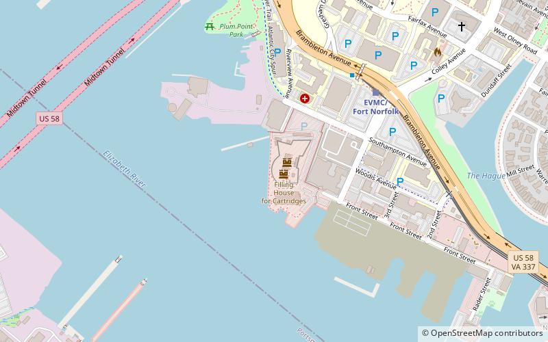
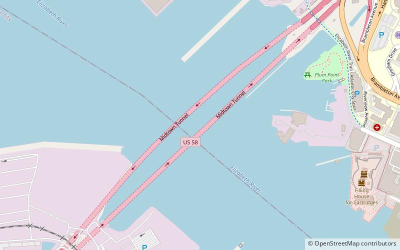
The Midtown Tunnel carries U.S. Highway 58 across the Southern Branch of the Elizabeth River in the South Hampton Roads area of Virginia, US. It links the cities of Portsmouth and Norfolk. Owned by the Virginia Department of Transportation, it is operated and maintained by Elizabeth River Crossings under a 58-year public–private partnership concession agreement. Formerly a toll-free facility, open road tolling was implemented on February 1, 2014 by VDOT to help finance repairs and expansion to the tunnel. ()
Coordinates: 36°51'31"N, 76°18'48"W
Address
Norfolk
ContactAdd
Social media
Add
Day trips
Midtown Tunnel – popular in the area (distance from the attraction)
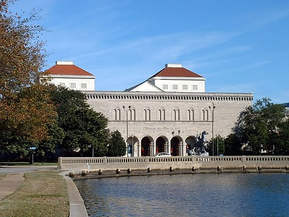
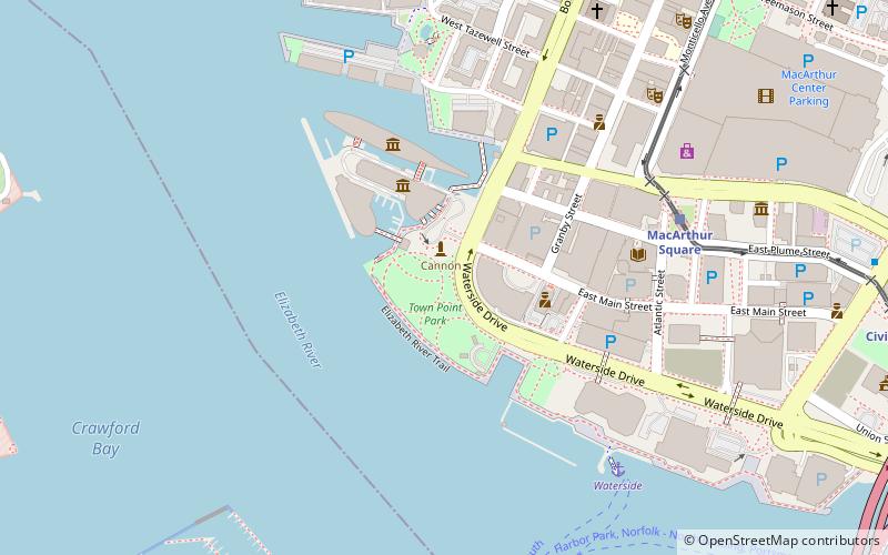
Nearby attractions include: Chrysler Museum of Art, Waterside, USS Wisconsin, Nauticus.
Frequently Asked Questions (FAQ)
Which popular attractions are close to Midtown Tunnel?
Nearby attractions include Fort Norfolk, Norfolk (10 min walk), Eastern Virginia Medical School, Norfolk (19 min walk), Christ and St. Luke's Church, Norfolk (22 min walk), Stockley Gardens Arts Festival, Norfolk (22 min walk).
How to get to Midtown Tunnel by public transport?
The nearest stations to Midtown Tunnel:
Light rail
Light rail
- EVMC/Fort Norfolk • Lines: Tide (14 min walk)
- York Street/Freemason • Lines: Tide (29 min walk)

