Squatter's Row, Omaha
Map
Facts and practical information
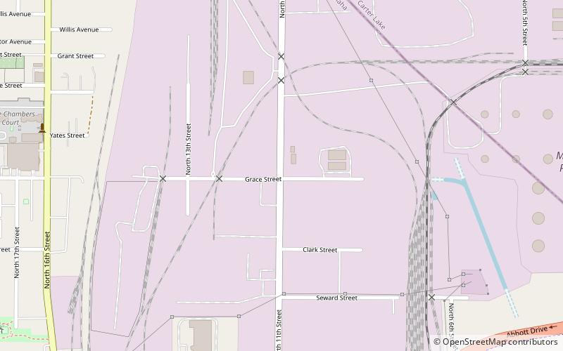
Squatter's Row was a historic neighborhood in the downtown area of Omaha, Nebraska. It was an area between North 11th and North 13th Streets, from Nicholas to Locust Streets, behind the Storz Brewery. For more than 75 years this area was inhabited solely by squatters. A village of shacks built of materials salvaged from the Omaha city dump, the neighborhood included different enclaves such as Vinegar Flats, Blind Pig Alley, among others. ()
Coordinates: 41°16'37"N, 95°55'49"W
Address
East OmahaOmaha
ContactAdd
Social media
Add
Getting there by public transportation
Public transportation stops near this location
- Bus
 Bus
Bus
- Calculate route24th & Cuming NW 28 min walk
- Calculate route16th and Davenport 29 min walk
Day trips


Frequently Asked Questions (FAQ)
Which popular attractions are close to Squatter's Row?
Nearby attractions include Strehlow Terrace, Omaha (10 min walk), Nicholas Street Historic District, Omaha (13 min walk), Hot Shops Art Center, Omaha (14 min walk), Zion Baptist Church, Omaha (19 min walk).
How to get to Squatter's Row by public transport?
The nearest stations to Squatter's Row:
Bus
Bus
- 24th & Cuming NW • Lines: 24 (28 min walk)
- 16th and Davenport • Lines: 95 (29 min walk)