Irish Hill, Louisville
Map
Facts and practical information
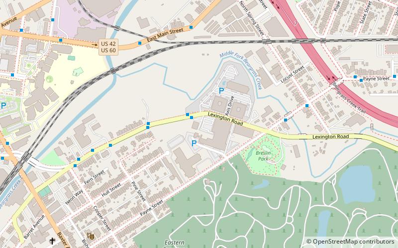
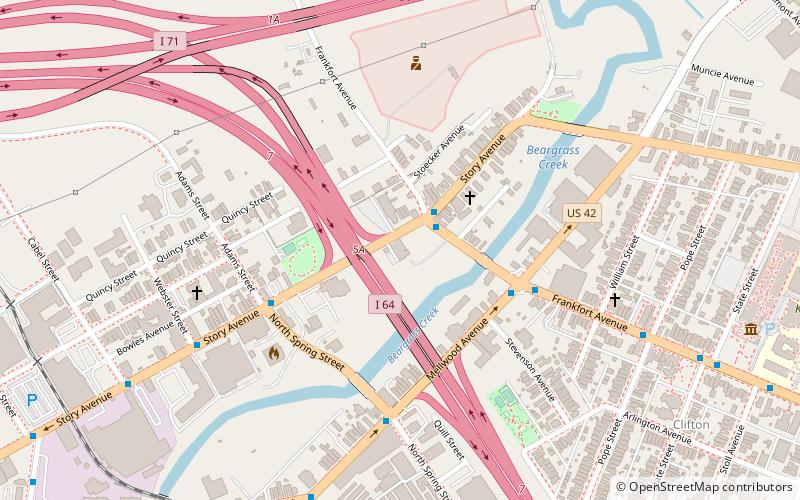
Irish Hill is a neighborhood east of downtown Louisville, Kentucky USA. It is bounded by Baxter Avenue to the west, Lexington Road to the north, the middle fork of Beargrass Creek and I-64 to the east. Cave Hill Cemetery is located directly south of Irish Hill. It is in the inner Highlands area of Louisville. ()
Coordinates: 38°15'3"N, 85°43'25"W
Address
The Highlands (Irish Hill)Louisville
ContactAdd
Social media
Add
Getting there by public transportation
Public transportation stops near this location
- Bus
 Bus
Bus
- Calculate routeMain / Mellwood 6 min walk
- Calculate routeMain / Railroad 6 min walk
- Calculate routeMellwood / Spring 9 min walk
- Calculate routeMain / Bickel 10 min walk
Day trips


Frequently Asked Questions (FAQ)
Which popular attractions are close to Irish Hill?
Nearby attractions include Union Monument in Louisville, Louisville (5 min walk), 32nd Indiana Monument, Louisville (7 min walk), Eastern Cemetery, Louisville (8 min walk), Story Avenue Park, Louisville (13 min walk).
How to get to Irish Hill by public transport?
The nearest stations to Irish Hill:
Bus
Bus
- Main / Mellwood • Lines: 15East Chenoweth&VA, 15East LaGrange, 15East LimeKiln, 15East LimeKiln&VA (6 min walk)
- Main / Railroad • Lines: 15East Chenoweth&VA, 15East LaGrange, 15East LimeKiln, 15East LimeKiln&VA (6 min walk)