Payne Avenue State Bank, Saint Paul
Map

Gallery

Facts and practical information
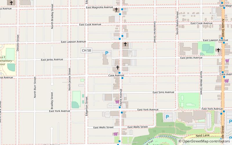
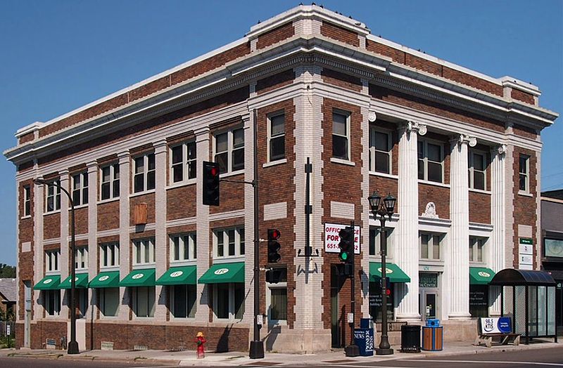
The Payne Avenue State Bank was designed in the Beaux-Arts style by W. L. Alban in 1923. Located in a predominantly new immigrant area of Saint Paul, Minnesota, United States, the bank initially served Irish, Swedish, German, and Italian immigrants in Saint Paul's East Side neighborhood. The formidable brick building conveyed a sense of permanence to the area residents. ()
Built: 1923 (103 years ago)Coordinates: 44°58'13"N, 93°4'26"W
Address
Payne - PhalenSaint Paul
ContactAdd
Social media
Add
Day trips
Payne Avenue State Bank – popular in the area (distance from the attraction)
Nearby attractions include: Lake Phalen, Vertical Endeavors, Minnesota Transportation Museum, First Baptist Church.
Frequently Asked Questions (FAQ)
Which popular attractions are close to Payne Avenue State Bank?
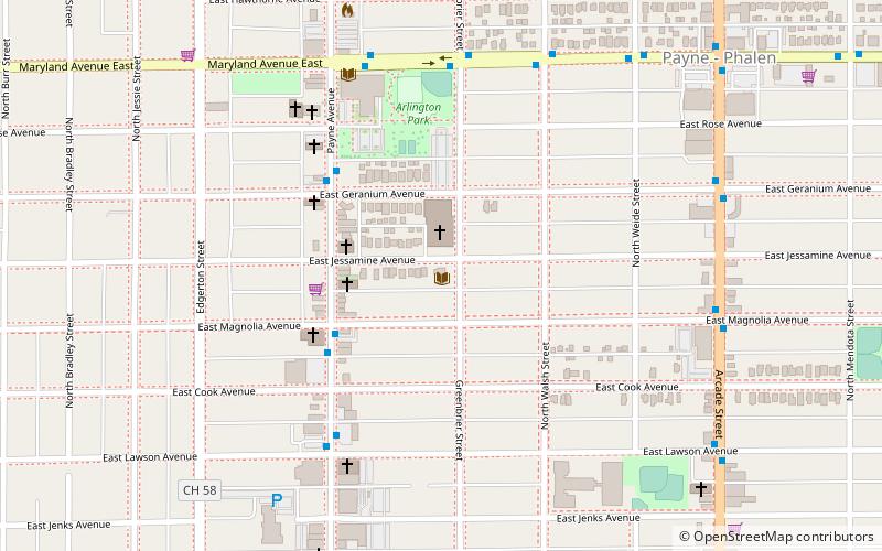
Nearby attractions include East Side Freedom Library, Saint Paul (8 min walk), Arlington Hills Library, Saint Paul (8 min walk), Church of St. Casimir, Saint Paul (18 min walk), Ann Charlotte and Jacob Hinkel House, Saint Paul (19 min walk).
How to get to Payne Avenue State Bank by public transport?
The nearest stations to Payne Avenue State Bank:
Bus
Light rail
Bus
- 3rd Street & Arcade Street • Lines: 63 (27 min walk)
Light rail
- Robert Street • Lines: 902 (42 min walk)


