Mission Point, Mackinac Island

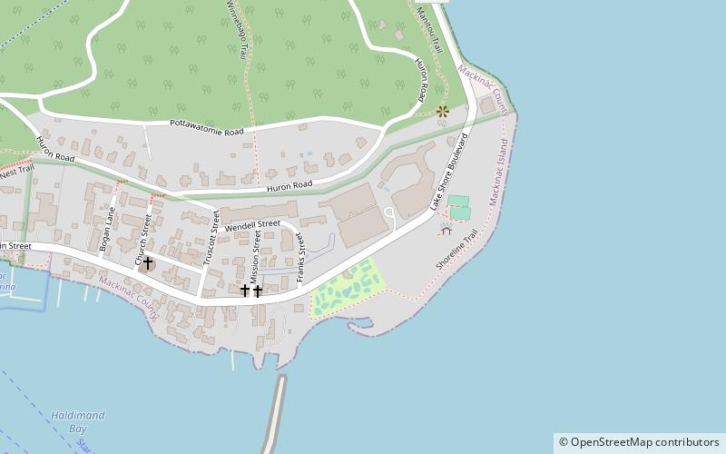
Map
Facts and practical information
Mission Point is located on the southeast side of Mackinac Island, Michigan. It is approximately 21 acres in size between Robinson's Folly and the jetty terminating near Franks Street. The Island has a history of documented European development beginning with French Jesuit missionaries landing at the point in 1634, less than two decades after the Pilgrims landed at Plymouth Rock on the East Coast of North America. ()
Coordinates: 45°51'3"N, 84°36'23"W
Address
Mackinac Island
ContactAdd
Social media
Add
Day trips
Mission Point – popular in the area (distance from the attraction)
Nearby attractions include: Fort Mackinac, Skull Cave, Richard and Jane Manoogian Mackinac Art Museum, Mackinac Island State Park.
Frequently Asked Questions (FAQ)
Which popular attractions are close to Mission Point?
Nearby attractions include Mission Church, Mackinac Island (4 min walk), Sainte Anne Church, Mackinac Island (7 min walk), Arch Rock, Mackinac Island (11 min walk), Richard and Jane Manoogian Mackinac Art Museum, Mackinac Island (12 min walk).


