Diocese of Pittsburgh, Pittsburgh
Map
Facts and practical information
The Archdiocese of Pittsburgh and Western Pennsylvania is a diocese of the Orthodox Church in America. Its territory includes parishes, monasteries, and missions located in three states in the United States – Pennsylvania, Ohio, and the entirety of West Virginia. The diocesan chancery is located in Cranberry Township, Pennsylvania. The current bishop of Pittsburgh and Western Pennsylvania, Melchisedek, was enthroned on June 27, 2009. The previous Archbishop of Pittsburgh and Western Pennsylvania, Kyrill, died on June 17, 2007. ()
Address
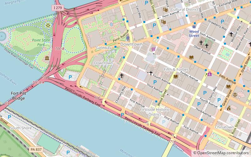
111 Boulevard of the AlliesCentral Pittsburgh (Downtown Pittsburgh)Pittsburgh
Contact
Social media
Add
Getting there by public transportation
Public transportation stops near this location
- Bus
- Light rail
- Train
 Bus
Bus
- Calculate routeBlvd of the Allies at Stanwix Street 1 min walk
- Calculate routeLiberty Ave at Stanwix St 4 min walk
- Calculate routeBoulevard of the Allies at Wood St 4 min walk
- Calculate routeLiberty Ave at Wyndham Grand 4 min walk
- Calculate routeWood Street 8 min walk
- Calculate routeSteel Plaza 13 min walk
- Calculate routeFirst Avenue 13 min walk
- Calculate routeStation Square 15 min walk
- Calculate routePittsburgh Union Station 20 min walk
Day trips
Diocese of Pittsburgh – popular in the area (distance from the attraction)
Nearby attractions include: PNC Park, Highmark Stadium, PPG Place, Benedum Center.


Frequently Asked Questions (FAQ)
Which popular attractions are close to Diocese of Pittsburgh?
Nearby attractions include PPG Place, Pittsburgh (1 min walk), Stanwix Street, Pittsburgh (1 min walk), United Steelworkers Building, Pittsburgh (2 min walk), Burke Building, Pittsburgh (3 min walk).
How to get to Diocese of Pittsburgh by public transport?
The nearest stations to Diocese of Pittsburgh:
Bus
Light rail
Train
Bus
- Blvd of the Allies at Stanwix Street • Lines: 3 (1 min walk)
- Liberty Ave at Stanwix St • Lines: P10 (4 min walk)
Light rail
- Wood Street • Lines: Blue, Red, Silver (8 min walk)
- Steel Plaza • Lines: Blue, Red, Silver (13 min walk)
Train
- Pittsburgh Union Station (20 min walk)