Thomas Durham School, Philadelphia
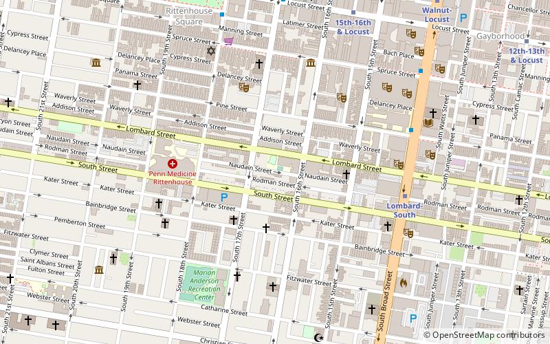
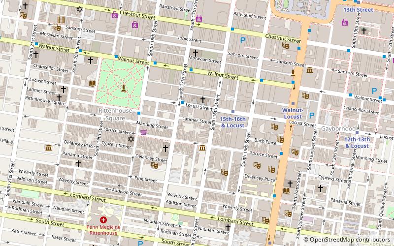
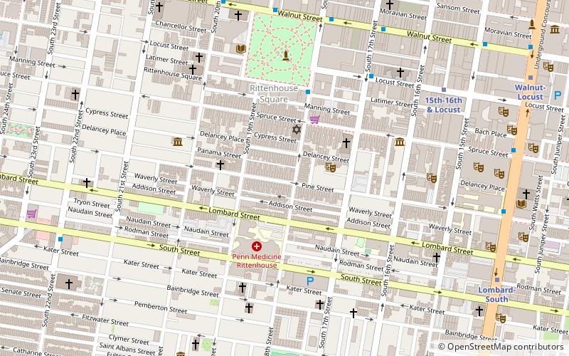
Map

Map

Facts and practical information
The Thomas Durham School is a historic school building in Philadelphia which was built in 1909. It was listed on the U.S. National Register of Historic Places in 1988. ()
Coordinates: 39°56'41"N, 75°10'10"W
Address
Center City (Rittenhouse Square)Philadelphia
ContactAdd
Social media
Add
Day trips
Thomas Durham School – popular in the area (distance from the attraction)
Nearby attractions include: Kimmel Center for the Performing Arts, Academy of Music, Liberti Church, Locust Rendezvous.
Frequently Asked Questions (FAQ)
Which popular attractions are close to Thomas Durham School?
Nearby attractions include Wesley AME Zion Church, Philadelphia (2 min walk), Southwest Schuylkill, Philadelphia (4 min walk), Plays & Players, Philadelphia (5 min walk), Civil War Museum of Philadelphia, Philadelphia (5 min walk).
How to get to Thomas Durham School by public transport?
The nearest stations to Thomas Durham School:
Metro
Bus
Tram
Train
Metro
- Lombard-South • Lines: Bsl (6 min walk)
- 15th-16th & Locust • Lines: Patco (8 min walk)
Bus
- Rittenhouse Sq & 18th St • Lines: 12 (7 min walk)
- Broad St & Locust St • Lines: 27, 4 (10 min walk)
Tram
- 15th Street • Lines: 10, 11, 13, 34, 36 (15 min walk)
- 19th Street • Lines: 10, 11, 13, 34, 36 (16 min walk)
Train
- Suburban Station (17 min walk)
- Jefferson Station (21 min walk)

 SEPTA Regional Rail


