Cleveland Street District, Durham
Map
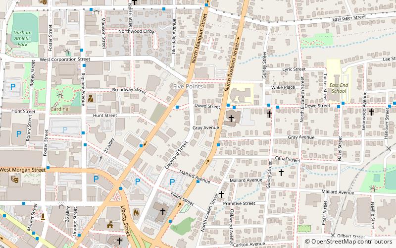
Map

Facts and practical information
Cleveland Street District is a national historic district located at Durham, Durham County, North Carolina. The district encompasses 16 contributing buildings and 1 contributing structure in a predominantly residential section of Durham. The buildings primarily date between the 1880s and 1910s and include notable examples of Queen Anne and Stick Style / Eastlake movement architecture. Notable contributing buildings include the Holloway-Hutchins House and Howerton-Masser House. ()
Area: 6 acres (0.0094 mi²)Coordinates: 35°59'59"N, 78°53'42"W
Address
Old North DurhamDurham
ContactAdd
Social media
Add
Day trips
Cleveland Street District – popular in the area (distance from the attraction)
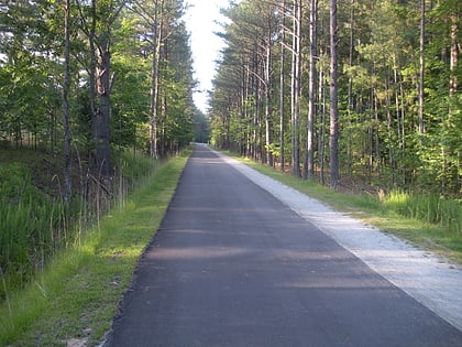
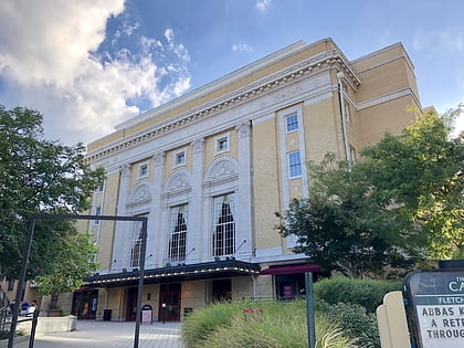
Nearby attractions include: Durham Bulls Athletic Park, Durham Athletic Park, American Tobacco Trail, Carolina Theatre.
Frequently Asked Questions (FAQ)
Which popular attractions are close to Cleveland Street District?
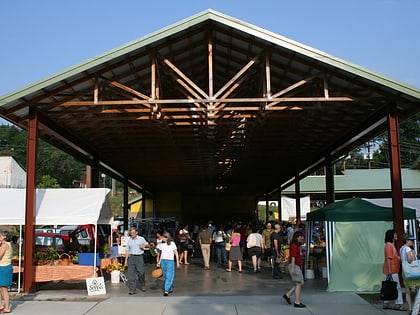
Nearby attractions include Durham Central Park, Durham (9 min walk), Durham Farmers' Market, Durham (10 min walk), Triangle Brewing Company, Durham (10 min walk), Durham Centre, Durham (11 min walk).
How to get to Cleveland Street District by public transport?
The nearest stations to Cleveland Street District:
Train
Bus
Train
- Durham (17 min walk)
Bus
- Durham Station • Lines: 1, 10, 10B, 11, 11B, 12, 12B, 2, 3, 3B, 3C, 3T, 4, 5, 5K, 6, 7, 8, 9, 9A, 9B, Drx (18 min walk)
- Durham Station Transportation Center (18 min walk)


