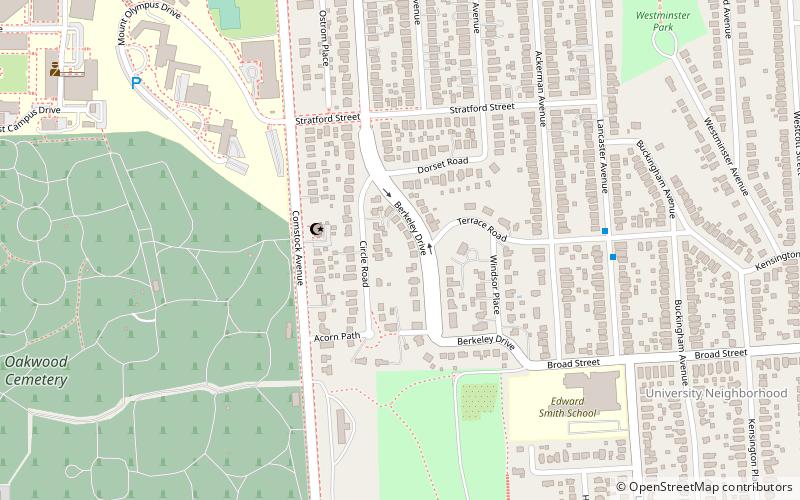
Berkeley Park Subdivision Historic District, Syracuse
Map

Map

Facts and practical information
Berkeley Park Subdivision Historic District is a residential subdivision in Syracuse, New York. It was designed in 1911 by Clarence Congdon. It is significant as "an outstanding and highly intact representation of early-twentieth century landscape architectural design." ()
Coordinates: 43°1'55"N, 76°7'38"W
Address
Eastside (University Neighborhood)Syracuse
ContactAdd
Social media
Add
Day trips
Berkeley Park Subdivision Historic District – popular in the area (distance from the attraction)
Nearby attractions include: Carrier Dome, Temple Society of Concord, Oncenter, Oakwood Cemetery.
Frequently Asked Questions (FAQ)
Which popular attractions are close to Berkeley Park Subdivision Historic District?
Nearby attractions include Islamic Society of Central New York, Syracuse (3 min walk), Syracuse University, Syracuse (10 min walk), Oakwood Cemetery, Syracuse (12 min walk), Westcott Community Center, Syracuse (14 min walk).


