Railyards Stadium, Sacramento
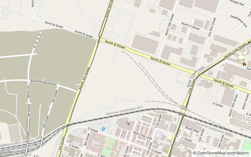
Map
Facts and practical information
The Railyards Stadium is a planned 21,000 seat soccer-specific stadium to be built in Sacramento, California. It will serve as the home for Sacramento Republic FC, a USL club that will enter Major League Soccer in 2023. The stadium is part of the Sacramento Railyards redevelopment project. It was unanimously approved in April 2019 by the Sacramento City Council, and the stadium is scheduled to be completed by the start of the 2023 MLS season. ()
Address
Central SacramentoSacramento
ContactAdd
Social media
Add
Getting there by public transportation
Public transportation stops near this location
- Bus
- Light rail
- Train
 Bus
Bus
- Calculate routeAlkali Flat/La Valentina 10 min walk
- Calculate route7th & Richards/Township 9 12 min walk
- Calculate routeSacramento Greyhound Terminal 14 min walk
- Calculate routeSacramento Valley Station 16 min walk
- Calculate routeAlkali Flat/La Valentina 10 min walk
- Calculate route7th & Richards/Township 9 12 min walk
- Calculate routeSacramento Valley Station 17 min walk
- Calculate route8th & K 20 min walk
- Calculate routeAlkali Flat/La Valentina 10 min walk
- Calculate route7th & Richards/Township 9 12 min walk
- Calculate route8th & H/County Center 15 min walk
Day trips
Railyards Stadium – popular in the area (distance from the attraction)
Nearby attractions include: Downtown Commons, Jedediah Smith Memorial Trail, Cathedral of the Blessed Sacrament, California State Railroad Museum.


Frequently Asked Questions (FAQ)
Which popular attractions are close to Railyards Stadium?
Nearby attractions include J. Neely Johnson House, Sacramento (10 min walk), Sacramento County Public Law Library, Sacramento (11 min walk), Federal Building, Sacramento (15 min walk), Sacramento City Hall, Sacramento (15 min walk).
How to get to Railyards Stadium by public transport?
The nearest stations to Railyards Stadium:
Bus
Train
Light rail
Bus
- Alkali Flat/La Valentina (10 min walk)
- 7th & Richards/Township 9 (12 min walk)
Train
- Alkali Flat/La Valentina (10 min walk)
- 7th & Richards/Township 9 (12 min walk)
Light rail
- Alkali Flat/La Valentina • Lines: Blue (10 min walk)
- 7th & Richards/Township 9 • Lines: Green (12 min walk)