Jedediah Smith Memorial Trail, Sacramento

Facts and practical information
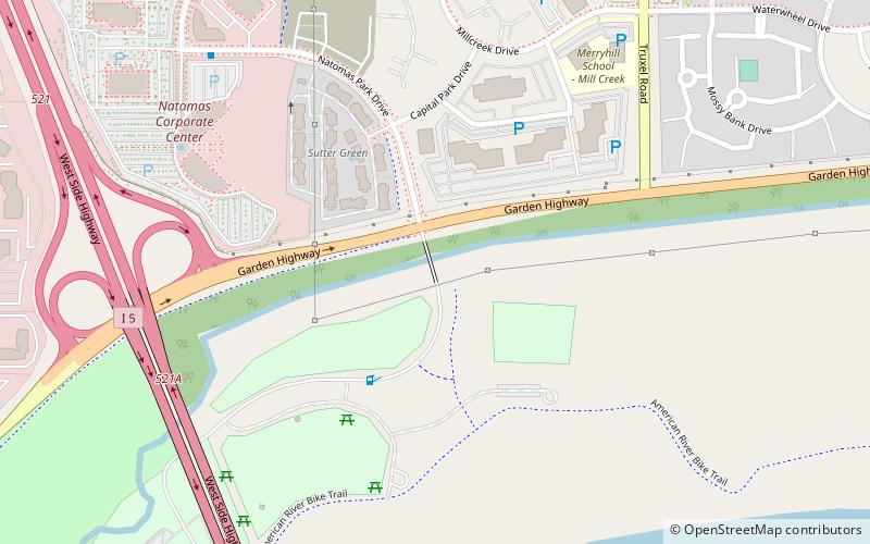
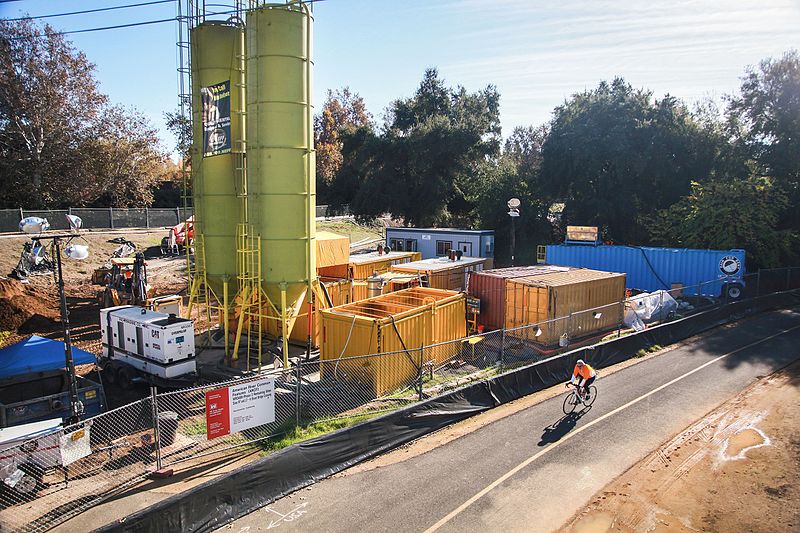
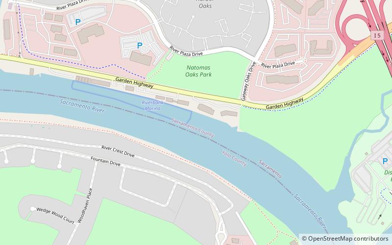
The Jedediah Smith Memorial Trail, also known as the American River Bike Trail, is a cherished natural corridor that weaves through the urban landscape of Sacramento, United States. This paved pathway, stretching approximately 32 miles, offers a serene escape for outdoor enthusiasts, cyclists, runners, and families alike.
Nestled along the banks of the picturesque American River, the trail is named in honor of Jedediah Smith, a trailblazing early 19th-century explorer. It begins at Discovery Park in downtown Sacramento and continues eastward, winding through the riparian habitat of the American River Parkway, reaching its terminus at Beals Point on the western shore of Folsom Lake.
The trail's gentle incline and well-maintained surface make it accessible for all skill levels, providing a perfect setting for recreational activities such as biking, walking, and horseback riding. Along the route, users are treated to an array of scenic vistas, including lush woodlands, abundant wildlife, and sparkling river views. It's not uncommon to spot deer, wild turkeys, and a variety of bird species inhabiting the area.
The Jedediah Smith Memorial Trail is also dotted with numerous parks, picnic areas, and rest stops, allowing for leisurely breaks and outdoor gatherings. Water fountains and restrooms are conveniently placed at intervals, ensuring comfort for trail-goers. For history buffs, the trail offers access to the historic Folsom Prison and the Folsom Powerhouse, which played a significant role in California's Gold Rush era.
This trail is a year-round destination, with each season offering a unique charm, from the blooming wildflowers in spring to the golden hues of the fall foliage. Whether seeking a vigorous workout, a tranquil nature walk, or a family outing, the Jedediah Smith Memorial Trail provides a picturesque backdrop for a diverse range of outdoor pursuits.
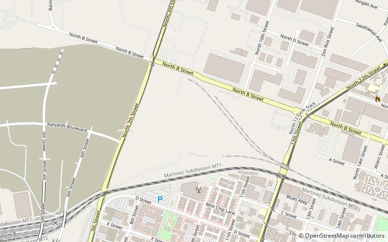
Discovery Park to Hazel AvenueNorth SacramentoSacramento 95825
- Bus
- Light rail
- Train
 Bus
Bus
- Calculate routeSacramento Greyhound Terminal 20 min walk
- Calculate route2379 Gateway Oaks 21 min walk
- Calculate route7th & Richards/Township 9 23 min walk
- Calculate route7th & Richards/Township 9 23 min walk
- Calculate route7th & Richards/Township 9 23 min walk

Frequently Asked Questions (FAQ)
Which popular attractions are close to Jedediah Smith Memorial Trail?
How to get to Jedediah Smith Memorial Trail by public transport?
Bus
- Sacramento Greyhound Terminal (20 min walk)
- 2379 Gateway Oaks • Lines: 99 (21 min walk)
Train
- 7th & Richards/Township 9 (23 min walk)
Light rail
- 7th & Richards/Township 9 • Lines: Green (23 min walk)