Oil Capital Historic District, Tulsa
Map
Gallery
Facts and practical information
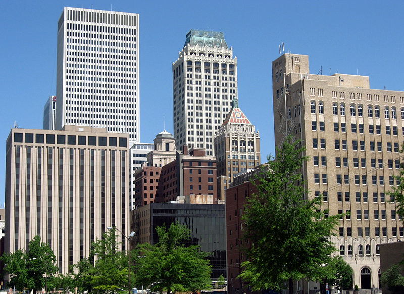
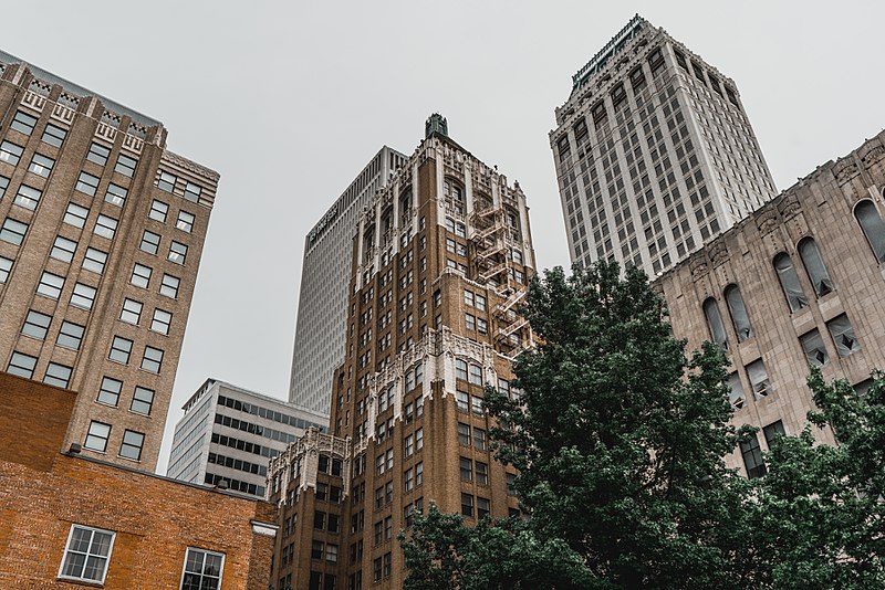
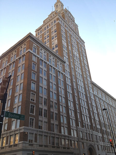
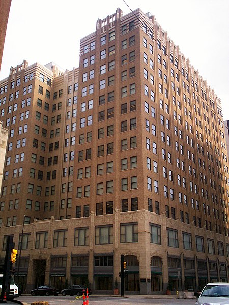
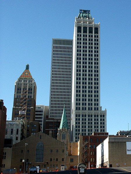
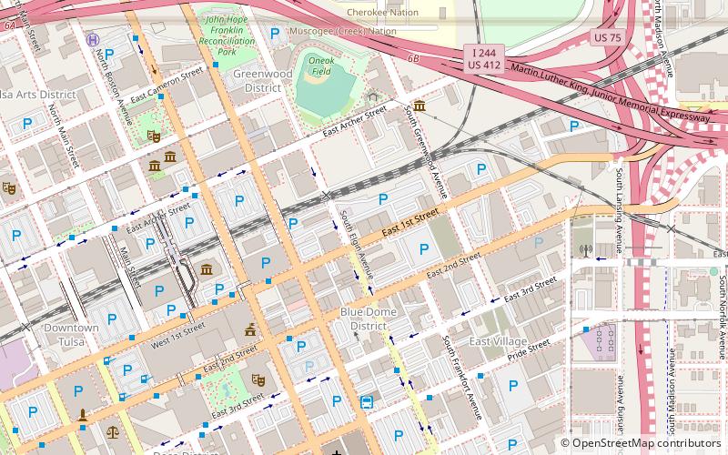
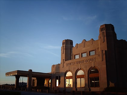
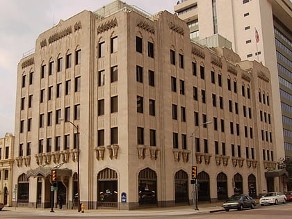
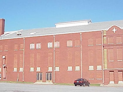
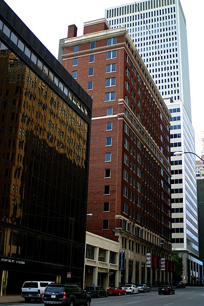
The Oil Capital Historic District is an area in downtown Tulsa, Oklahoma that commemorates the success of the oil business in Tulsa during the early 20th century. During this period, Tulsa was widely known as "The Oil Capital of the World." The area is bounded by 3rd Street on the north and 7th Street on the south, Cincinnati Avenue on the east and Cheyenne Avenue on the west. ()
Coordinates: 36°9'5"N, 95°59'25"W
Address
6 East 5th StreetDowntown TulsaTulsa
ContactAdd
Social media
Add
Day trips
Oil Capital Historic District – popular in the area (distance from the attraction)
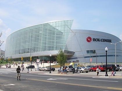
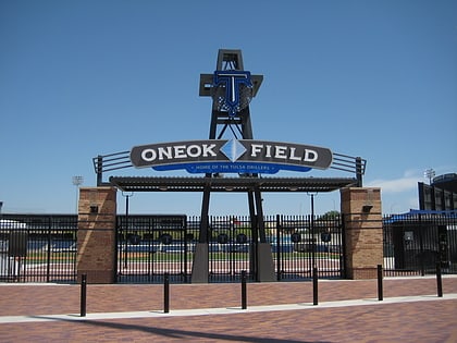
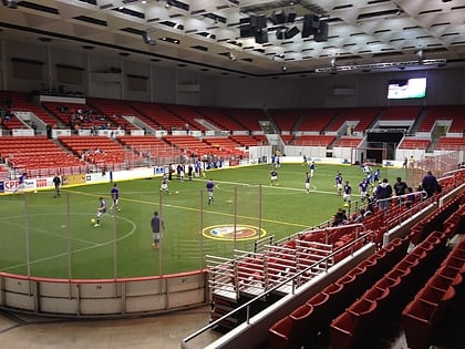
Nearby attractions include: BOK Center, ONEOK Field, Cox Business Convention Center, McNellie's.
Frequently Asked Questions (FAQ)
Which popular attractions are close to Oil Capital Historic District?
Nearby attractions include Philcade Building, Tulsa (3 min walk), Tulsa Geoscience Center, Tulsa (3 min walk), Tulsa Art Deco Museum, Tulsa (3 min walk), Philtower, Tulsa (3 min walk).
How to get to Oil Capital Historic District by public transport?
The nearest stations to Oil Capital Historic District:
Bus
Bus
- Denver Avenue Station • Lines: 110, 114, 117, 130, 140, 150, 201, 700, 804, 805 (6 min walk)
- 2nd Street South • Lines: 130, 700, 805 (6 min walk)


