Emery Street Bungalow District, Eau Claire
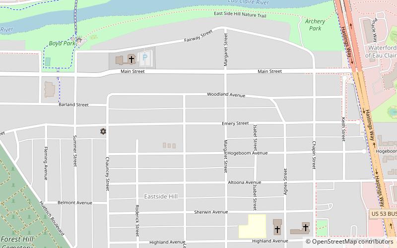
Map

Map

Facts and practical information
The Emery Street Bungalow Historic District is located in Eau Claire, Wisconsin, United States. It was added to the National Register of Historic Places in 1983. ()
Coordinates: 44°48'39"N, 91°28'47"W
Address
East HillEau Claire
ContactAdd
Social media
Add
Day trips
Emery Street Bungalow District – popular in the area (distance from the attraction)
Nearby attractions include: Phoenix Park, Owen Park, State Theatre, Sarge Boyd Bandshell.
Frequently Asked Questions (FAQ)
Which popular attractions are close to Emery Street Bungalow District?
Nearby attractions include Jane E. Putnam Memorial Chapel, Eau Claire (12 min walk), Plank Hill, Eau Claire (14 min walk), U-Haul Moving & Storage of Eau Claire, Eau Claire (17 min walk), Cobblestone House, Eau Claire (21 min walk).
How to get to Emery Street Bungalow District by public transport?
The nearest stations to Emery Street Bungalow District:
Bus
Bus
- Davies South Entrance • Lines: 9 (37 min walk)


