Perkins Square Gazebo, Baltimore
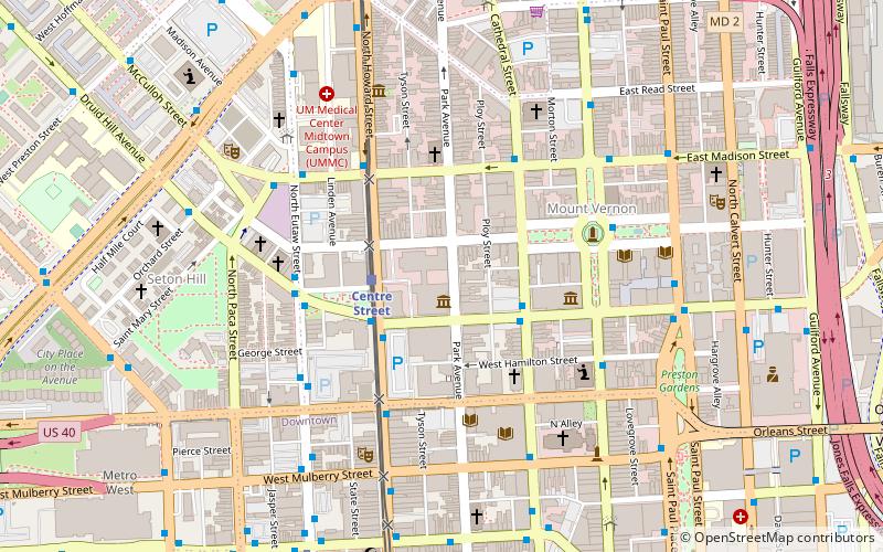
Map
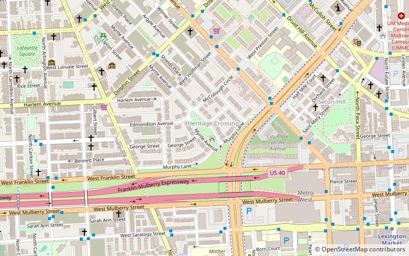
Gallery
Facts and practical information
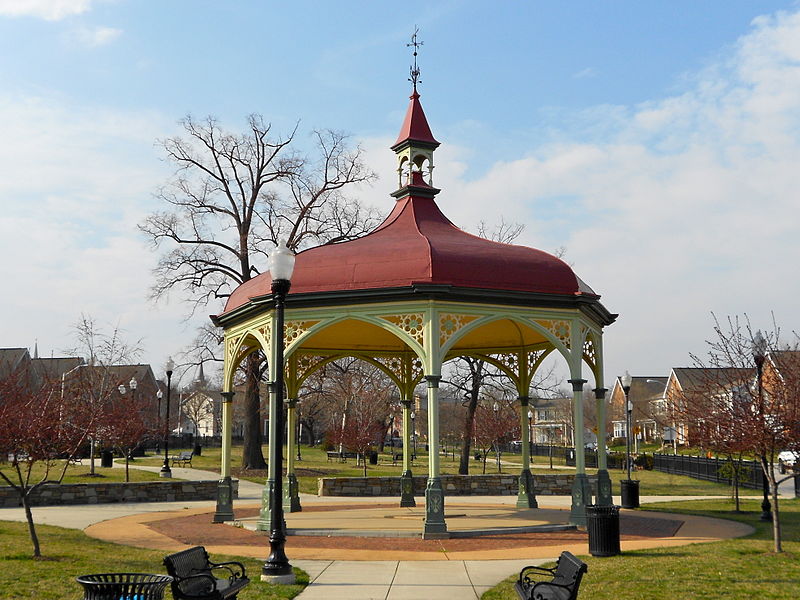
Perkins Square Gazebo is a historic gazebo located at Baltimore, Maryland, United States. It is an eight-sided, cast iron, open structure of eclectic Victorian design. It was constructed in 1871 and located in a triangular-shaped park in West Baltimore. It is currently located within the Heritage Crossing townhome community that was constructed on the former site of the Murphy Homes public housing project. ()
Built: 1871 (155 years ago)Elevation: 95 ft a.s.l.Coordinates: 39°17'46"N, 76°37'45"W
Address
Central Baltimore (Heritage Crossing)Baltimore
ContactAdd
Social media
Add
Day trips
Perkins Square Gazebo – popular in the area (distance from the attraction)
Nearby attractions include: Walters Art Museum, Lexington Market, Edgar Allan Poe House and Museum, Westminster Hall and Burying Ground.
Frequently Asked Questions (FAQ)
Which popular attractions are close to Perkins Square Gazebo?
Nearby attractions include Orchard Street United Methodist Church, Baltimore (7 min walk), Seton Hill, Baltimore (8 min walk), St. Mary's Seminary Chapel, Baltimore (8 min walk), Old Pine Street Station, Baltimore (8 min walk).
How to get to Perkins Square Gazebo by public transport?
The nearest stations to Perkins Square Gazebo:
Metro
Bus
Light rail
Train
Metro
- Lexington Market • Lines: M (13 min walk)
- State Center/Cultural Center • Lines: M (13 min walk)
Bus
- Fremont Avenue - UMD Biopark Westbound • Lines: Orange (13 min walk)
- Pine Street • Lines: Orange (13 min walk)
Light rail
- Mount Vernon • Lines: Lr (13 min walk)
- Lexington Market • Lines: Lr (15 min walk)
Train
- Baltimore Camden Station (26 min walk)
- Baltimore Penn Station (28 min walk)

