Underbridge Dog Run, New York City
Map
Facts and practical information
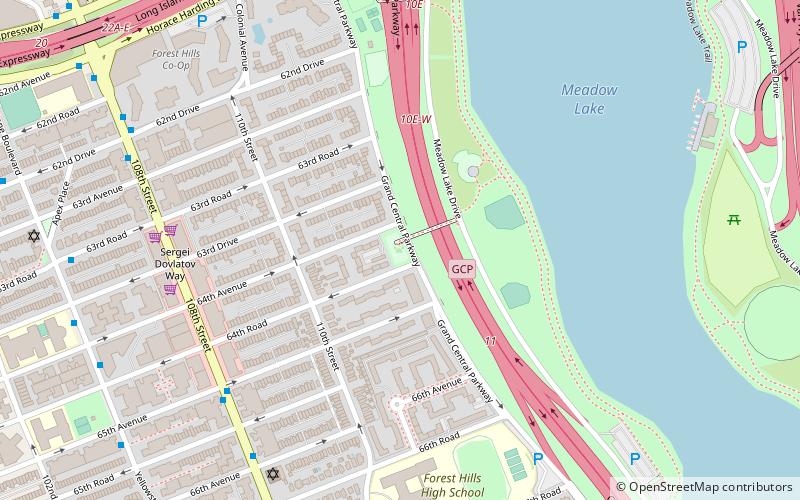
Underbridge Dog Run is a dog run named after the pedestrian bridge connecting it to the adjacent Flushing Meadows–Corona Park, the fourth-largest city-operated park in New York City and site of the 1939-40 and 1964-65 World’s Fairs. The park is located on Grand Central Parkway between 64th Avenue and 64th Road. The section of the park located opposite the Underbridge Dog Run contains Meadow Lake, the largest lake within New York City. ()
Elevation: 20 ft a.s.l.Coordinates: 40°44'2"N, 73°50'42"W
Address
Northwestern Queens (Forest Hills)New York City
ContactAdd
Social media
Add
Getting there by public transportation
Public transportation stops near this location
- Metro
- Bus
- Train
 Metro
Metro
- Calculate routeHorace Harding Expressway & Saultell Avenue 11 min walk
- Calculate route108th Street & Waldron Street 15 min walk
- Calculate route67th Avenue 17 min walk
- Calculate routeForest Hills–71st Avenue 22 min walk
- Calculate routeForest Hills 26 min walk
Maps SubwayMaps
 Manhattan Buses
SubwayMapsManhattan BusesDay trips


Frequently Asked Questions (FAQ)
Which popular attractions are close to Underbridge Dog Run?
Nearby attractions include Queens Jewish Center, New York City (8 min walk), Congregation of Georgian Jews, New York City (11 min walk), Flushing Meadows–Corona Park, New York City (15 min walk), Queens Theatre in the Park, New York City (19 min walk).
How to get to Underbridge Dog Run by public transport?
The nearest stations to Underbridge Dog Run:
Bus
Metro
Train
Bus
- Horace Harding Expressway & Saultell Avenue • Lines: Q58 (11 min walk)
- 108th Street & Waldron Street • Lines: Q58 (15 min walk)
Metro
- 67th Avenue • Lines: E, M, R (17 min walk)
- Forest Hills–71st Avenue • Lines: <F>, E, F, M, R (22 min walk)
Train
- Forest Hills (26 min walk)