Spangler Woods, Gettysburg

Map
Facts and practical information
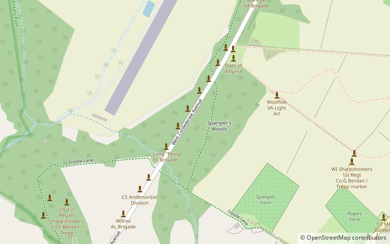
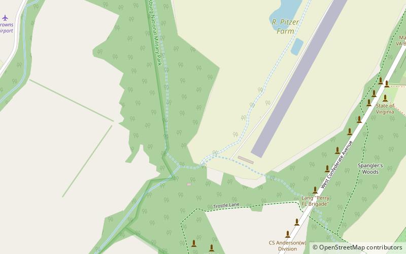
Spangler Woods is a Gettysburg Battlefield location used during the Battle of Gettysburg and is near the Virginia Monument. On July 2, 1863, Garnett's Brigade bivouacked on the border of the woods. ()
Coordinates: 39°48'43"N, 77°15'7"W
Address
Gettysburg
ContactAdd
Social media
Add
Day trips
Spangler Woods – popular in the area (distance from the attraction)
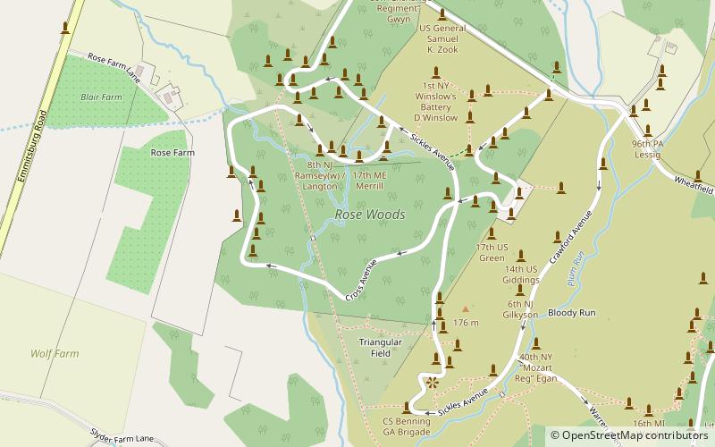
Nearby attractions include: Pennsylvania State Memorial, 72nd Pennsylvania Infantry Monument, Rose Woods, Gettysburg National Cemetery.
Frequently Asked Questions (FAQ)
Which popular attractions are close to Spangler Woods?
Nearby attractions include Virginia Monument, Gettysburg (5 min walk), Pitzer Woods, Gettysburg (9 min walk), North Carolina Monument, Gettysburg (13 min walk), McMillan Woods, Gettysburg (15 min walk).


