Groton Bank Historic District, Groton
Map

Map

Facts and practical information
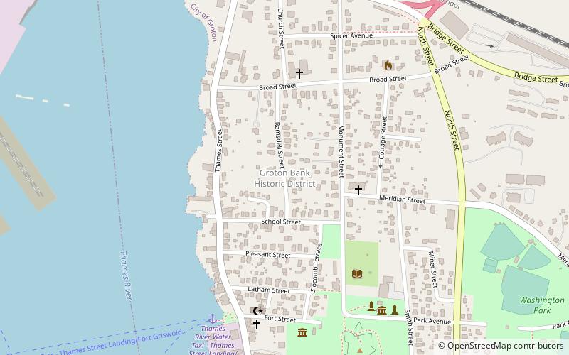
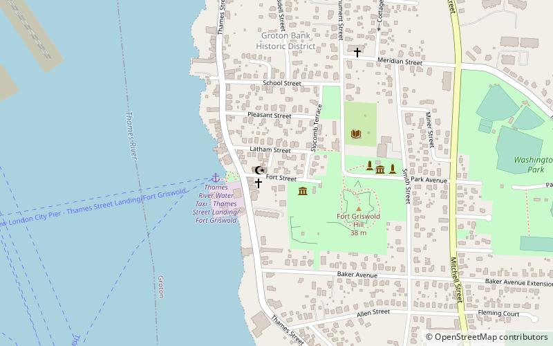
The Groton Bank Historic District, commonly known as Groton Heights, is a primarily residential 50-acre historic district in the City of Groton in Connecticut. The district was added to the National Register of Historic Places on March 24, 1983. ()
Coordinates: 41°21'28"N, 72°4'55"W
Address
GrotonGroton
ContactAdd
Social media
Add
Day trips
Groton Bank Historic District – popular in the area (distance from the attraction)
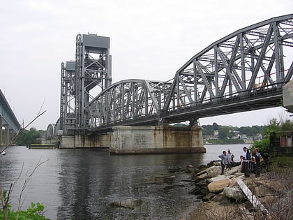
Nearby attractions include: Fort Trumbull, St. James Episcopal Church, Shaw's Cove Bridge, Custom House Maritime Museum.
Frequently Asked Questions (FAQ)
Which popular attractions are close to Groton Bank Historic District?
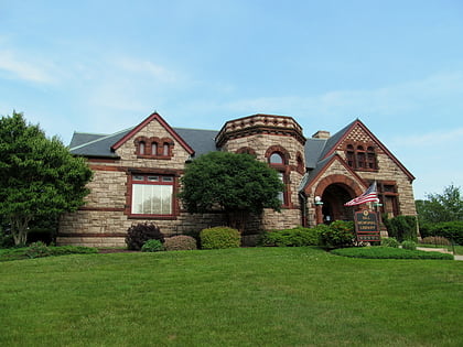
Nearby attractions include Bill Memorial Library, Groton (5 min walk), Ebenezer Avery House, Groton (6 min walk), Groton Monument, Groton (7 min walk), Fort Griswold Battlefield State Park, Groton (8 min walk).
How to get to Groton Bank Historic District by public transport?
The nearest stations to Groton Bank Historic District:
Ferry
Bus
Train
Ferry
- Cross Sound Ferry (15 min walk)
Bus
- Greyhound Bus Station (16 min walk)
Train
- New London (16 min walk)


