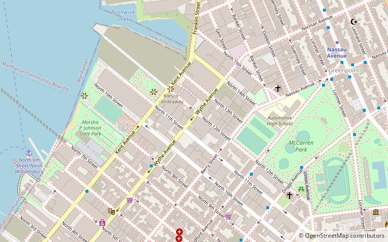
Saint Vitus Bar, Sea Gate
Map
Facts and practical information
Saint Vitus is a bar and music venue located in the Greenpoint neighborhood of Brooklyn, New York. Opened in April 2011, the 2,500 square feet venue is known for its heavy metal atmosphere. Some notable metal bands that have played there include Pentagram and Black Anvil. In April 2014, the surviving members of Nirvana performed at Saint Vitus with Joan Jett and Kim Gordon. Pitchfork writer Brandon Stosuy has also booked bands at the venue, such as Converge, Iceage, and Deafheaven. ()
Coordinates: 40°44'13"N, 73°57'19"W
Address
Northern Brooklyn (Greenpoint)Sea Gate
ContactAdd
Social media
Add
Getting there by public transportation
Public transportation stops near this location
- Metro
- Bus
- Train
 Metro
Metro
- Calculate routeVernon Boulevard & Borden Avenue 9 min walk
- Calculate route1 Av/E 34 St 28 min walk
- Calculate routeEast 42nd Street & 1st Avenue 28 min walk
- Calculate routeLong Island City 9 min walk
- Calculate routeHunterspoint Avenue 14 min walk
- Calculate routeGrand Central Terminal 41 min walk
- Calculate routeGreenpoint Avenue 10 min walk
- Calculate routeVernon Boulevard–Jackson Avenue 11 min walk
- Calculate routeHunters Point Avenue 13 min walk
Day trips


Frequently Asked Questions (FAQ)
Which popular attractions are close to Saint Vitus Bar?
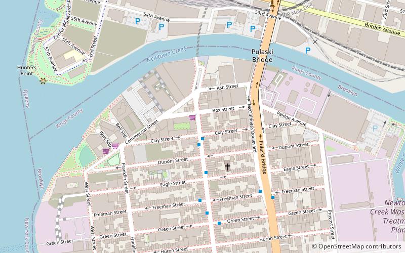
Nearby attractions include Pulaski Bridge, New York City (6 min walk), Greenpoint Reformed Church, New York City (11 min walk), The Greenpoint, New York City (12 min walk), Greenpoint, New York City (12 min walk).
How to get to Saint Vitus Bar by public transport?
The nearest stations to Saint Vitus Bar:
Bus
Train
Metro
Bus
- Vernon Boulevard & Borden Avenue • Lines: Q103 (9 min walk)
- 1 Av/E 34 St • Lines: M15, M15-Sbs (28 min walk)
Train
- Long Island City (9 min walk)
- Hunterspoint Avenue (14 min walk)
Metro
- Greenpoint Avenue • Lines: G (10 min walk)
- Vernon Boulevard–Jackson Avenue • Lines: <7>, 7 (11 min walk)