Cedar Bough Place Historic District, New Albany
Map

Gallery

Facts and practical information
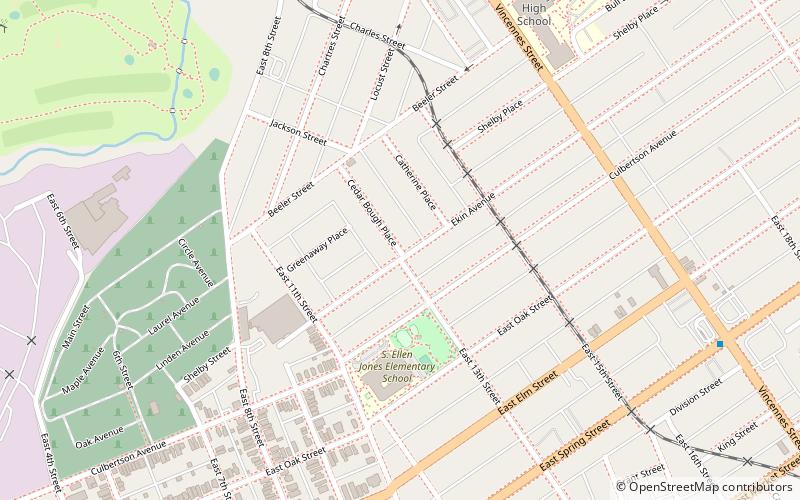
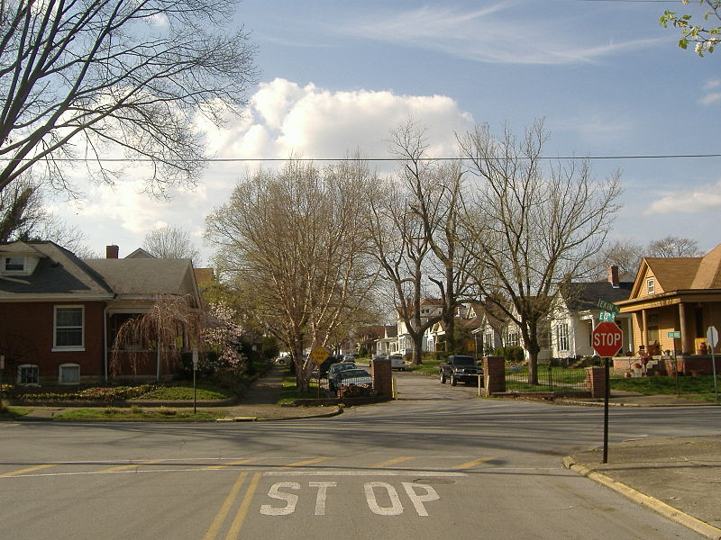
Cedar Bough Place Historic District is a national historic district located at New Albany, Indiana, ¾ of a mile from the Ohio River, across from Louisville, Kentucky. It consists of the 800-block of the road Cedar Bough Place, between Beeler and Ekin Avenues. ()
Coordinates: 38°17'39"N, 85°48'51"W
Address
New AlbanyNew Albany
ContactAdd
Social media
Add
Day trips
Cedar Bough Place Historic District – popular in the area (distance from the attraction)
Nearby attractions include: New Albany National Cemetery, Culbertson Mansion State Historic Site, Sherman Minton Bridge, Carnegie Center for Art & History.
Frequently Asked Questions (FAQ)
Which popular attractions are close to Cedar Bough Place Historic District?
Nearby attractions include Shelby Place Historic District, New Albany (6 min walk), East Spring Street Historic District, New Albany (11 min walk), Mansion Row Historic District, New Albany (14 min walk), DePauw Avenue Historic District, New Albany (14 min walk).
How to get to Cedar Bough Place Historic District by public transport?
The nearest stations to Cedar Bough Place Historic District:
Bus
Bus
- State / Elm • Lines: 71 (20 min walk)
- Grant Line / Daisy • Lines: 71 (25 min walk)


