McAlpine Locks and Dam, Louisville
Map

Map

Facts and practical information
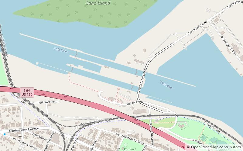
The McAlpine Locks and Dam are a set of locks and a hydroelectric dam at the Falls of the Ohio River at Louisville, Kentucky. They are located at mile point 606.8, and control a 72.9 miles long navigation pool. The locks and their associated canal were the first major engineering project on the Ohio River, completed in 1830 as the Louisville and Portland Canal, designed to allow shipping traffic to navigate through the Falls of the Ohio. ()
Day trips
McAlpine Locks and Dam – popular in the area (distance from the attraction)
Nearby attractions include: Portland Museum, Culbertson Mansion State Historic Site, Old Clarksville Site, Ohio River.
Frequently Asked Questions (FAQ)
Which popular attractions are close to McAlpine Locks and Dam?
Nearby attractions include Kentucky & Indiana Terminal Bridge, Louisville (16 min walk), Portland Museum, Louisville (18 min walk), Shippingport, Louisville (18 min walk).
How to get to McAlpine Locks and Dam by public transport?
The nearest stations to McAlpine Locks and Dam:
Bus
Bus
- Portland / 29th • Lines: 12North, 99South (10 min walk)
- Portland / 28th • Lines: 99South (11 min walk)


