Jewelers' Row, Philadelphia
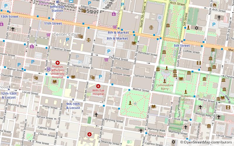
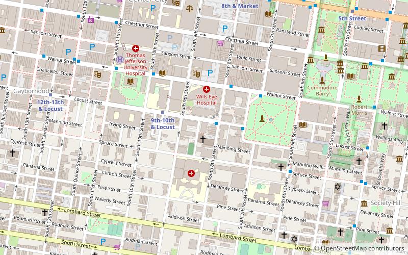
Map
Facts and practical information
Jewelers Row Tower is a 29-story residential building planned for the Washington Square West neighborhood of Philadelphia on the southeast corner of Sansom Street and south Seventh Street. It is being developed by Toll Brothers and designed by SLCE Architects. The plans for the project have proved controversial, and have been criticized by parties including Philadelphia mayor Jim Kenney and architectural critic Inga Saffron. ()
Coordinates: 39°56'56"N, 75°9'13"W
Getting there by public transportation
Public transportation stops near this location
- Metro
- Bus
- Tram
- Train
 Metro
Metro
- Calculate routeLocust St & 8th St 4 min walk
- Calculate routeWashington Sq & Locust St 4 min walk
- Calculate routeFlixBus Philadelphia Market Street 6 min walk
- Calculate routeSpruce St & 6th St 7 min walk
- Calculate route8th & Market 5 min walk
- Calculate route8th Street 5 min walk
- Calculate route9th-10th & Locust 6 min walk
- Calculate route5th Street 8 min walk
- Calculate routeJefferson Station 10 min walk
- Calculate routeSuburban Station 21 min walk
- Calculate route13th Street 13 min walk
- Calculate route15th Street 18 min walk
- Calculate route19th Street 26 min walk
- Calculate routeFrankford Avenue & Delaware Avenue 39 min walk
Maps SEPTA Regional Rail
SEPTA Regional RailDay trips
Jewelers' Row – popular in the area (distance from the attraction)
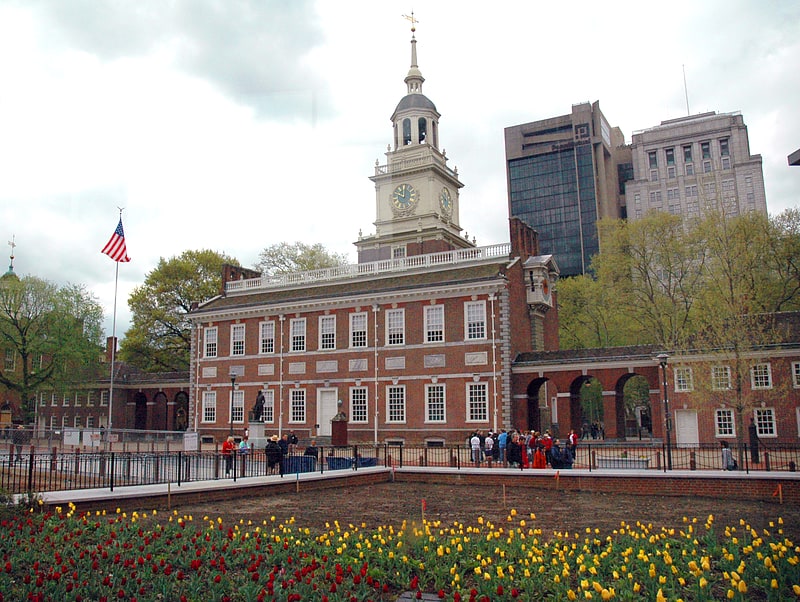
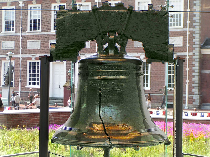
Nearby attractions include: Independence Hall, Liberty Bell, Independence National Historical Park, The Gallery.


Frequently Asked Questions (FAQ)
Which popular attractions are close to Jewelers' Row?
Nearby attractions include Jewelers' Row, Philadelphia (2 min walk), The St. James, Philadelphia (2 min walk), Walnut Street Theatre, Philadelphia (3 min walk), The Curtis Center, Philadelphia (3 min walk).
How to get to Jewelers' Row by public transport?
The nearest stations to Jewelers' Row:
Bus
Metro
Train
Tram
Bus
- Locust St & 8th St • Lines: 12, 47 (4 min walk)
- Washington Sq & Locust St • Lines: 12, 47 (4 min walk)
Metro
- 8th & Market • Lines: Bsl, Patco (5 min walk)
- 8th Street • Lines: Mfl (5 min walk)
Train
- Jefferson Station (10 min walk)
- Suburban Station (21 min walk)
Tram
- 13th Street • Lines: 10, 11, 13, 34, 36 (13 min walk)
- 15th Street • Lines: 10, 11, 13, 34, 36 (18 min walk)