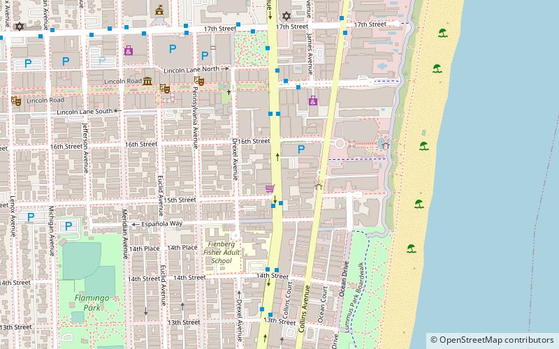
Flamingo/Lummus, Miami Beach
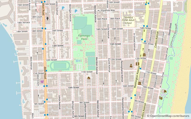
Map
Facts and practical information
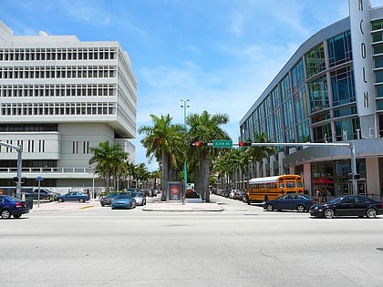
Flamingo/Lummus is an urban neighborhood of South Beach in the city of Miami Beach, Florida, United States. Named for the famed Flamingo Hotel of the early 20th century, it is located in the eastern portion of the main island the city occupies. It is roughly bound by Lincoln Road to the north, 5th Street to the south, Biscayne Bay and Alton Road to the west, and Ocean Drive and Lummus Park to the east. ()
Area: 0.75 mi²Coordinates: 25°46'58"N, 80°8'11"W
Address
South Beach (Flamingo-Lummus)Miami Beach
ContactAdd
Social media
Add
Day trips
Flamingo/Lummus – popular in the area (distance from the attraction)
Nearby attractions include: Ocean Drive, Lincoln Road Mall, Miami Beach Convention Center, Lummus Park.
Frequently Asked Questions (FAQ)
Which popular attractions are close to Flamingo/Lummus?
Nearby attractions include South Beach, Miami Beach (2 min walk), The Hub at the LGBT Visitor Center on Miami Beach, Miami Beach (6 min walk), The Temple House, Miami Beach (7 min walk), Miami Beach Architectural District, Miami Beach (7 min walk).
How to get to Flamingo/Lummus by public transport?
The nearest stations to Flamingo/Lummus:
Bus
Bus
- Washington Avenue & 12th Street • Lines: 103 (7 min walk)
- Alton Road & 11th Street • Lines: 113, 119 (8 min walk)

