Brigham Circle, Boston
Map
Facts and practical information
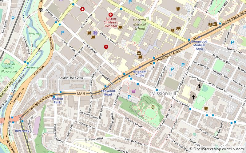
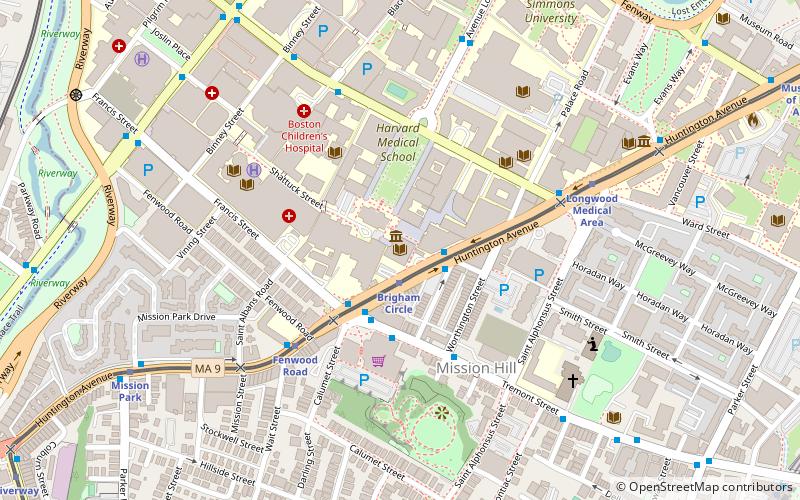
Brigham Circle is located at the intersection of Tremont Street and Huntington Avenue in the Mission Hill neighborhood of Boston, Massachusetts. The commercial center of Mission Hill, it forms the southern tip of the Longwood Medical Area. ()
Coordinates: 42°20'3"N, 71°6'17"W
Address
Mission HillBoston
ContactAdd
Social media
Add
Getting there by public transportation
Public transportation stops near this location
- Metro
- Bus
- Light rail
- Train
 Metro
Metro
- Calculate routeFenwood Road 2 min walk
- Calculate routeBrigham Circle 2 min walk
- Calculate routeMission Park 7 min walk
- Calculate routeLongwood Medical Area 8 min walk
- Calculate routeLongwood Ave @ Blackfan St 7 min walk
- Calculate routeAve Louis Pasteur @ Longwood Ave 9 min walk
- Calculate routeBrookline Ave @ Short St 12 min walk
- Calculate routeRoxbury Crossing 13 min walk
- Calculate routeRuggles 21 min walk
- Calculate routeJackson Square 22 min walk
- Calculate routeMassachusetts Avenue 30 min walk
- Calculate routeRuggles 21 min walk
- Calculate routeLansdowne 25 min walk
Maps MBTA Subway
MBTA SubwayDay trips


Frequently Asked Questions (FAQ)
Which popular attractions are close to Brigham Circle?
Nearby attractions include Francis Street–Fenwood Road Historic District, Boston (3 min walk), Boston Medical Library, Boston (3 min walk), Warren Anatomical Museum, Boston (3 min walk), Kevin W. Fitzgerald Park, Boston (4 min walk).
How to get to Brigham Circle by public transport?
The nearest stations to Brigham Circle:
Light rail
Bus
Metro
Train
Light rail
- Fenwood Road • Lines: E (2 min walk)
- Brigham Circle • Lines: E (2 min walk)
Bus
- Longwood Ave @ Blackfan St • Lines: 8 (7 min walk)
- Ave Louis Pasteur @ Longwood Ave • Lines: 8 (9 min walk)
Metro
- Roxbury Crossing • Lines: Orange (13 min walk)
- Ruggles • Lines: Orange (21 min walk)
Train
- Ruggles (21 min walk)
- Lansdowne (25 min walk)