Brookline Avenue, Boston
Map
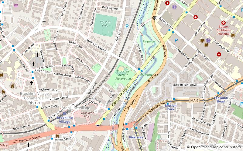
Map

Facts and practical information
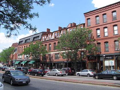
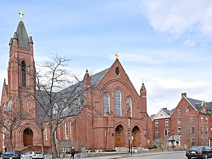
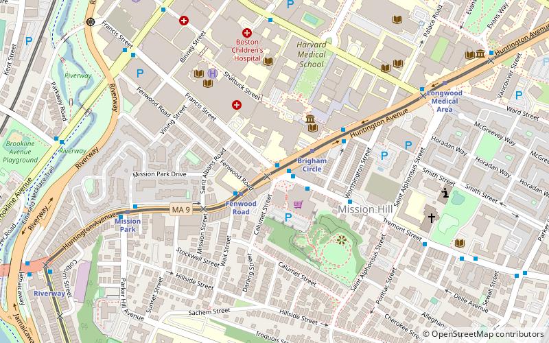
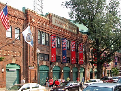
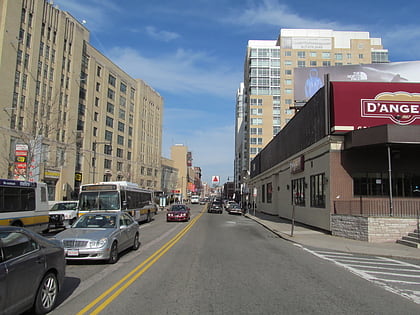
Brookline Avenue is a principal urban artery in the city of Boston, Massachusetts. It runs from Kenmore Square in the Fenway-Kenmore neighborhood, forming a 1.5-mile straight line to its other terminus at Washington Street in the Brookline Village neighborhood of Brookline, Massachusetts. The Landmark Center, Fenway Park, Emmanuel College, Longwood Medical and Academic Area and Kenmore Square are sites along its length. ()
Elevation: 10 ft a.s.l.Coordinates: 42°20'4"N, 71°6'47"W
Address
Brookline (Brookline Village)Boston
ContactAdd
Social media
Add
Day trips
Brookline Avenue – popular in the area (distance from the attraction)
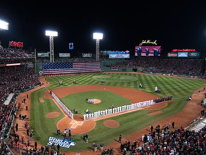
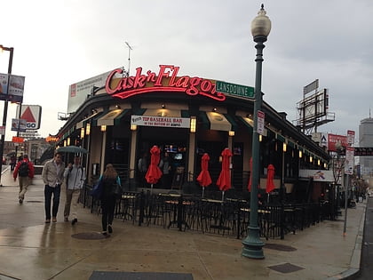
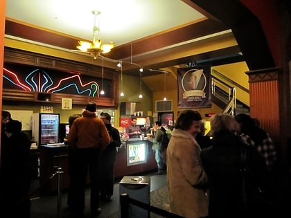
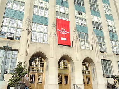
Nearby attractions include: Fenway Park, Cask 'n Flagon, Coolidge Corner Theatre, Tsai Performance Center.
Frequently Asked Questions (FAQ)
Which popular attractions are close to Brookline Avenue?
Nearby attractions include House at 53 Linden Street, Boston (5 min walk), William Ingersoll Bowditch House, Boston (6 min walk), House at 38–40 Webster Place, Boston (6 min walk), Thomas Aspinwall Davis House, Boston (6 min walk).
How to get to Brookline Avenue by public transport?
The nearest stations to Brookline Avenue:
Light rail
Bus
Metro
Train
Light rail
- Mission Park • Lines: E (6 min walk)
- Riverway • Lines: E (6 min walk)
Bus
- Longwood Ave @ Brookline Ave • Lines: 8 (11 min walk)
- Brookline Ave @ Short St • Lines: 8 (14 min walk)
Metro
- Roxbury Crossing • Lines: Orange (24 min walk)
- Jackson Square • Lines: Orange (27 min walk)
Train
- Lansdowne (29 min walk)
 MBTA Subway