Harrison West, Columbus
Map
Gallery
Facts and practical information
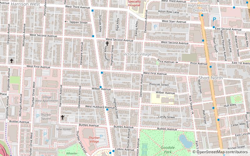
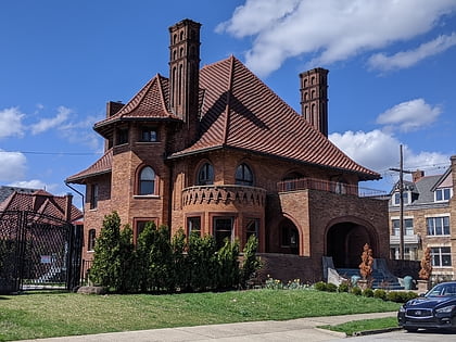
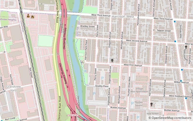
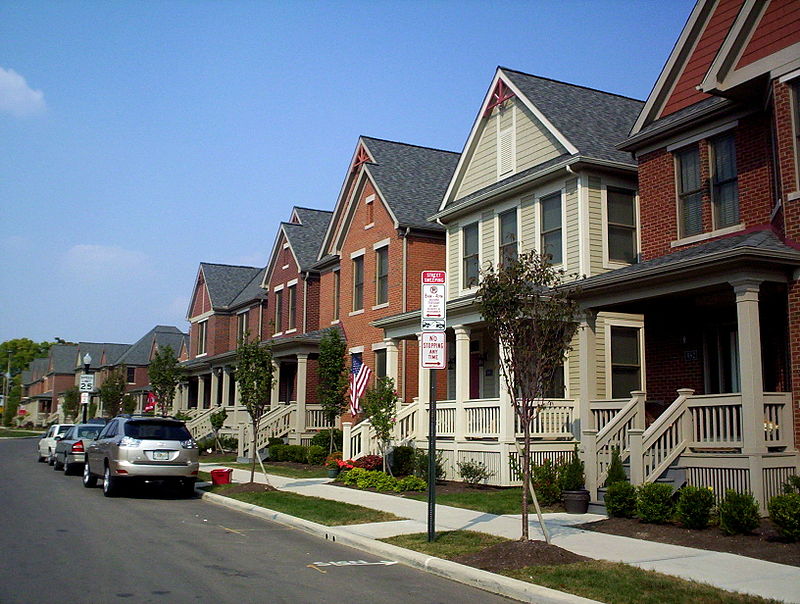
Harrison West is an historic urban neighborhood located northwest of downtown Columbus, Ohio. It sits on several blocks along the Olentangy River, and includes the western part of the Near Northside Historic District, which was placed on the National Register of Historic Places in 1975. The character of the neighborhood is similar to Victorian Village, which sits just to the east and is a more well-known. ()
Coordinates: 39°58'51"N, 83°1'9"W
Address
Harrison WestColumbus
ContactAdd
Social media
Add
Day trips
Harrison West – popular in the area (distance from the attraction)
Nearby attractions include: North Market, The Tree Bar, Pizzuti Collection, Goodale Park.
Frequently Asked Questions (FAQ)
Which popular attractions are close to Harrison West?
Nearby attractions include Near Northside Historic District, Columbus (12 min walk), Victorian Village, Columbus (13 min walk), Northwest Columbus, Columbus (13 min walk), Italian Village, Columbus (13 min walk).
How to get to Harrison West by public transport?
The nearest stations to Harrison West:
Bus
Bus
- Neil Ave & W 2nd Ave • Lines: 8 (10 min walk)

