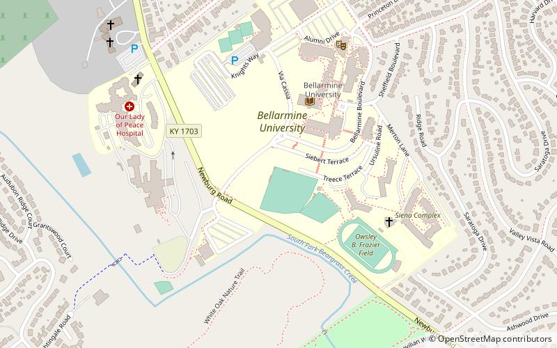
Knights Field, Louisville
Map
Facts and practical information
Knights Field is a baseball park located on the campus of Bellarmine University in Louisville, Kentucky. It is home of the Bellarmine Knights baseball team. ()
Coordinates: 38°13'3"N, 85°42'21"W
Address
The Highlands (Belknap)Louisville
ContactAdd
Social media
Add
Getting there by public transportation
Public transportation stops near this location
- Bus
 Bus
Bus
- Calculate routeTarc Stop 21 min walk
- Calculate routeSpring / Grasmere 24 min walk
- Calculate routeEastern Parkway / Baxter 24 min walk
Day trips


Frequently Asked Questions (FAQ)
Which popular attractions are close to Knights Field?
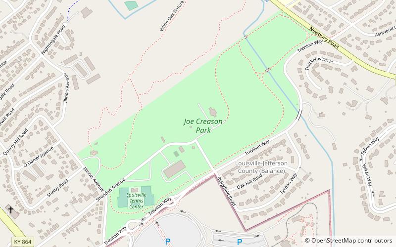
Nearby attractions include Joe Creason Park, Louisville (12 min walk), Beargrass Creek State Nature Preserve, Louisville (16 min walk), The Highlands, Louisville (18 min walk), Original Highlands, Louisville (18 min walk).
How to get to Knights Field by public transport?
The nearest stations to Knights Field:
Bus
Bus
- Tarc Stop (21 min walk)
- Spring / Grasmere • Lines: 29East Oxmoor, 29West Oxmoor (24 min walk)