Vesuvio Playground, New York City
Map
Facts and practical information
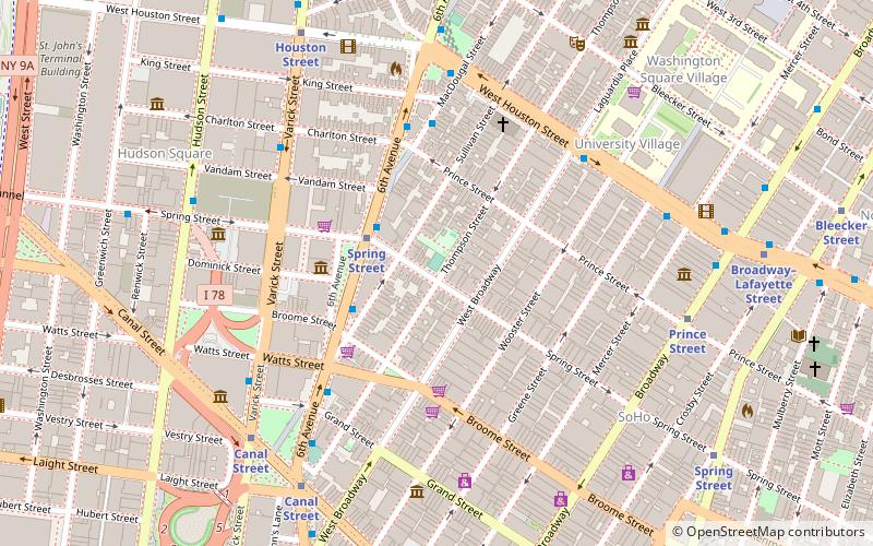
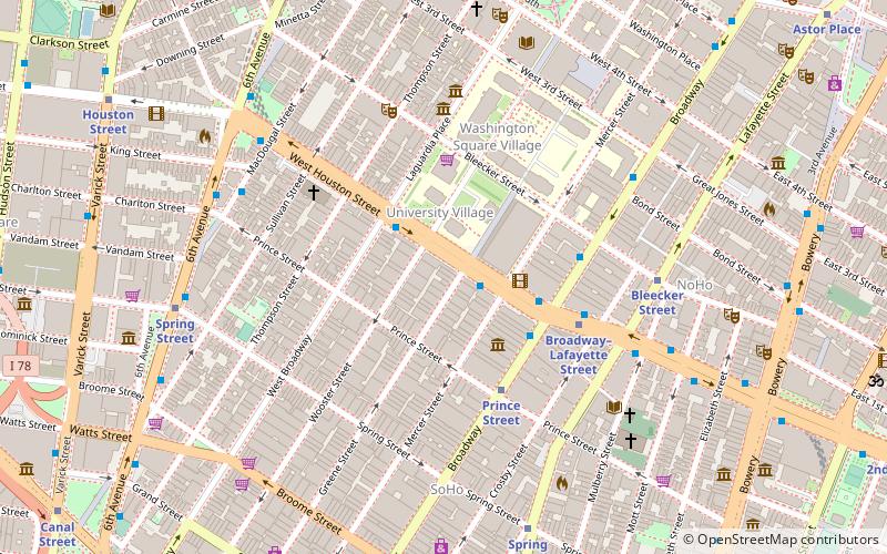
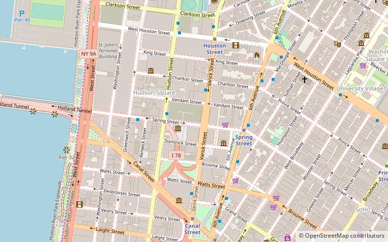
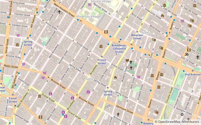
Vesuvio Playground is an 0.64-acre neighborhood park located on the corner of Thompson Street and Spring Street, off of Prince Street, in SoHo, Manhattan, New York City. ()
Elevation: 10 ft a.s.l.Coordinates: 40°43'30"N, 74°0'9"W
Address
Downtown Manhattan (SoHo)New York City
ContactAdd
Social media
Add
Getting there by public transportation
Public transportation stops near this location
- Metro
- Bus
- Ferry
 Metro
Metro
- Calculate routeSpring Street 3 min walk
- Calculate routeCanal Street 6 min walk
- Calculate routeBroadway & Spring Street 7 min walk
- Calculate routeBrookfield Place / Battery Park City Ferry Terminal 27 min walk
Maps SubwayMaps
 Manhattan Buses
SubwayMapsManhattan BusesDay trips
Vesuvio Playground – popular in the area (distance from the attraction)
Nearby attractions include: Le Poisson Rouge, Terrain Gallery, Color Factory, The Drawing Center.


Frequently Asked Questions (FAQ)
Which popular attractions are close to Vesuvio Playground?
Nearby attractions include Artists' Choice Museum, New York City (2 min walk), Ward-Nasse Gallery, New York City (3 min walk), Vandam Street, New York City (3 min walk), Dahesh Museum of Art, New York City (4 min walk).
How to get to Vesuvio Playground by public transport?
The nearest stations to Vesuvio Playground:
Metro
Bus
Ferry
Metro
- Spring Street • Lines: A, C, E (3 min walk)
- Canal Street • Lines: 1, 2 (6 min walk)
Bus
- Broadway & Spring Street • Lines: M55 (7 min walk)
Ferry
- Brookfield Place / Battery Park City Ferry Terminal (27 min walk)