SoHo, New York City
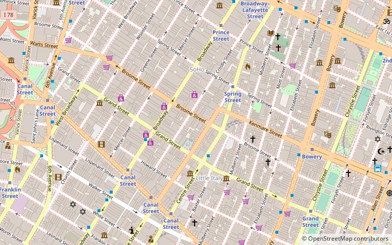
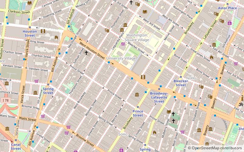
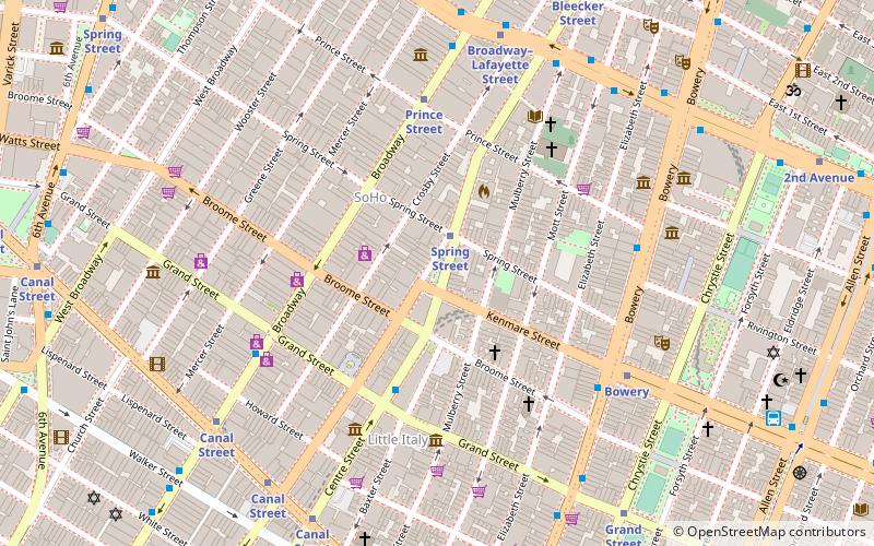
Map
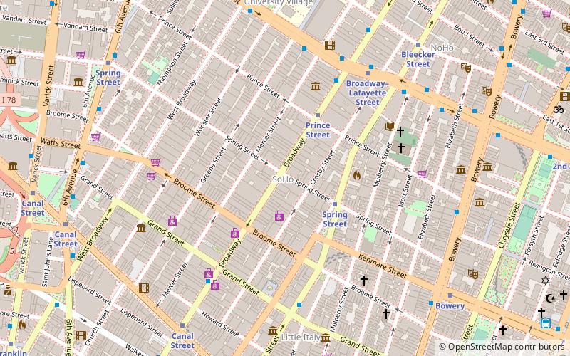
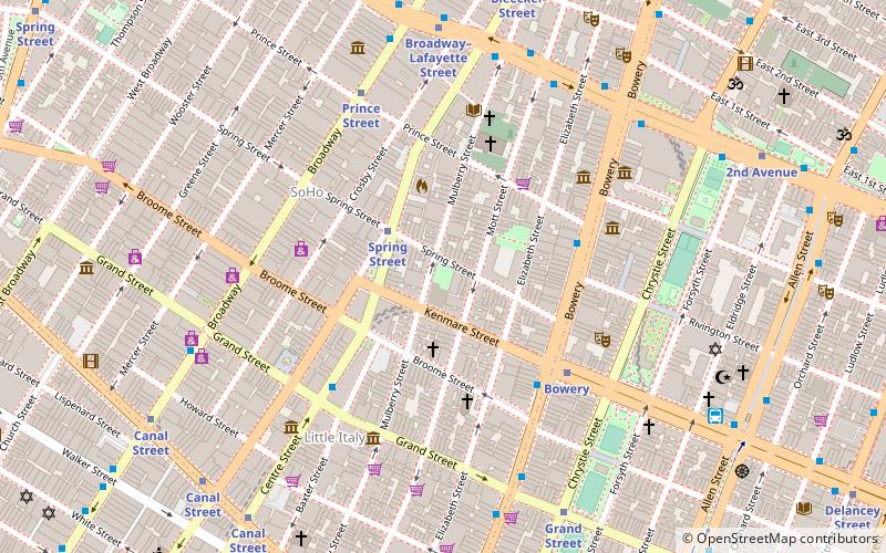
Map

Facts and practical information
The Wall, also known as The Gateway to Soho, is a piece of minimalist art that was constructed in the SoHo neighborhood of Manhattan, New York City. It was part of the building that stands at 599 Broadway until 2002 when the New York City Landmarks Preservation Commission gave the owners permission to take it down so the interior wall could be repaired. The artwork has since been re-installed. ()
Day trips
SoHo – popular in the area (distance from the attraction)
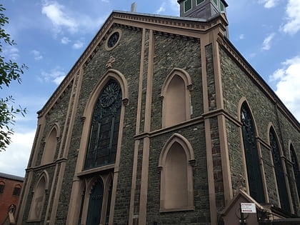
Nearby attractions include: Center for Italian Modern Art, St. Patrick's Old Cathedral, Little Italy, Terrain Gallery.
Frequently Asked Questions (FAQ)
Which popular attractions are close to SoHo?
Nearby attractions include Staley-Wise Gallery, New York City (3 min walk), Petrosino Square, New York City (3 min walk), SoHo, New York City (3 min walk), Storefront for Art and Architecture, New York City (3 min walk).
How to get to SoHo by public transport?
The nearest stations to SoHo:
Bus
Metro
Ferry
Bus
- Broadway & Spring Street • Lines: M55 (1 min walk)
- East Houston Street & Broadway • Lines: M21 (6 min walk)
Metro
- Spring Street • Lines: <6>, 4, 6 (3 min walk)
- Prince Street • Lines: N, Q, R, W (3 min walk)
Ferry
- Brookfield Place / Battery Park City Ferry Terminal (29 min walk)

 Subway
 Manhattan Buses