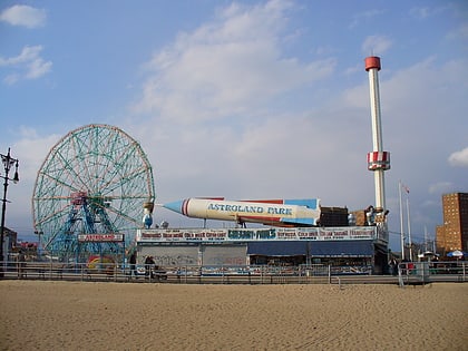
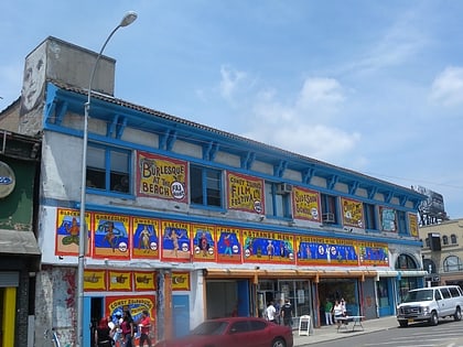
Brighton Beach Motordrome, New York City
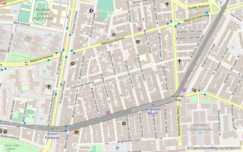
Map
Facts and practical information
Brighton Beach Motordrome, also known as the Brighton Beach Stadium, was a racing facility in Brighton Beach, New York. The Motordrome was originally named the Brighton Beach Race-Course, and became the Brighton Beach Motordrome in 1909. In 1915 A. H. Patterson took over as the proprietor of the racetrack. ()
Coordinates: 40°34'45"N, 73°57'49"W
Address
Southern Brooklyn (Brighton Beach)New York City
ContactAdd
Social media
Add
Day trips
Brighton Beach Motordrome – popular in the area (distance from the attraction)
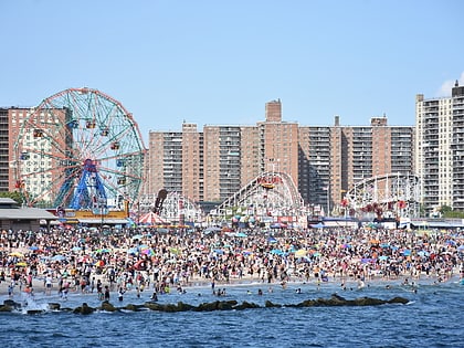
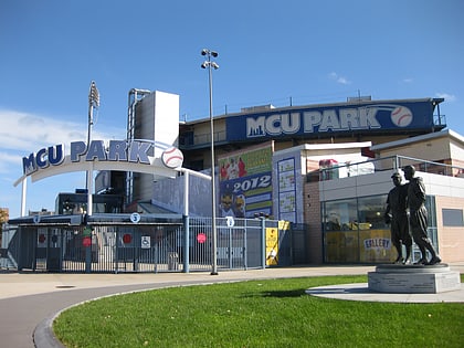
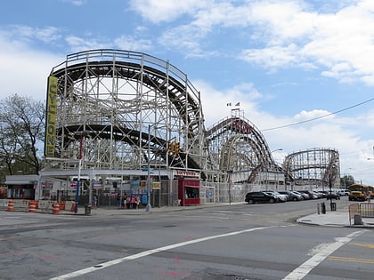
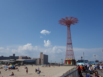
Nearby attractions include: Deno's Wonder Wheel Amusement Park, Maimonides Park, Coney Island Cyclone, Parachute Jump.
Frequently Asked Questions (FAQ)
Which popular attractions are close to Brighton Beach Motordrome?
Nearby attractions include Jewish Center of Brighton Beach, New York City (5 min walk), Brighton Beach, New York City (6 min walk), Manhattan Beach Jewish Center, New York City (11 min walk), Trump Village, New York City (15 min walk).
How to get to Brighton Beach Motordrome by public transport?
The nearest stations to Brighton Beach Motordrome:
Metro
Bus
Metro
- Brighton Beach • Lines: B, Q (4 min walk)
- Ocean Parkway • Lines: Q (9 min walk)
Bus
- 86th Street & West 8th Street • Lines: B1, B4 (32 min walk)
 Subway
 Manhattan Buses