Eastover, Charlotte
Map
Facts and practical information
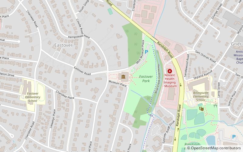
Eastover is a residential neighborhood in Charlotte, North Carolina, United States. Eastover was the city’s first suburb to build houses with driveways and has attracted many of the prominent leaders who shaped Charlotte’s growth. One of the neighborhood’s major landmarks is the Mint Museum Randolph, which attracts visitors from all over the Charlotte area. ()
Coordinates: 35°11'56"N, 80°49'37"W
Address
Center City (Myers Park)Charlotte
ContactAdd
Social media
Add
Getting there by public transportation
Public transportation stops near this location
- Tram
 Tram
Tram
- Calculate routeElizabeth & Hawthorne 26 min walk
- Calculate routeHawthorne & 5th Street 27 min walk
Day trips


Frequently Asked Questions (FAQ)
Which popular attractions are close to Eastover?
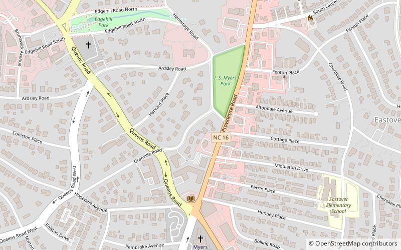
Nearby attractions include James Buchanan Duke House, Charlotte (5 min walk), Edgehill Park, Charlotte (9 min walk), Hamilton C. Jones III House, Charlotte (9 min walk), Orient Manufacturing Company-Chadwick-Hoskins No. 3, Charlotte (10 min walk).
How to get to Eastover by public transport?
The nearest stations to Eastover:
Tram
Tram
- Elizabeth & Hawthorne • Lines: Gold (26 min walk)
- Hawthorne & 5th Street • Lines: Gold (27 min walk)