Errol Heights Park, Portland
Map
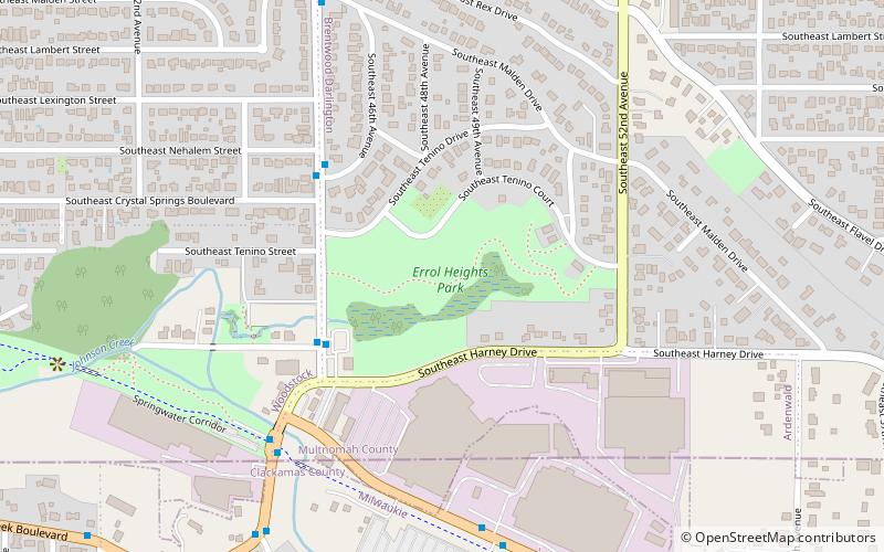
Map

Facts and practical information
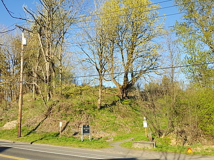
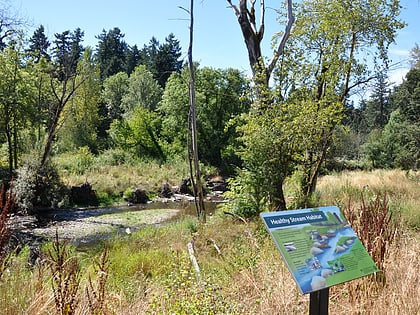
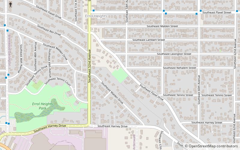
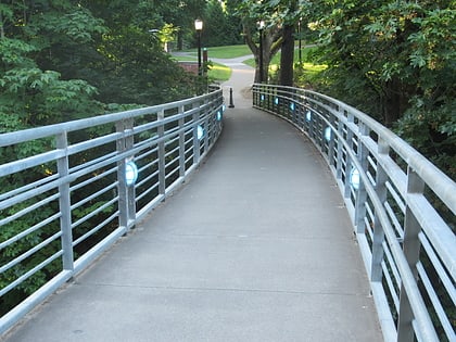
Errol Heights Park, also known as Errol Heights Natural Area, is a 14.25-acre public park in Portland, Oregon. ()
Elevation: 131 ft a.s.l.Coordinates: 45°27'50"N, 122°36'49"W
Day trips
Errol Heights Park – popular in the area (distance from the attraction)
Nearby attractions include: Eastmoreland Golf Course, Tideman Johnson Natural Area, Delta Cafe, Crystal Springs Rhododendron Garden.
Frequently Asked Questions (FAQ)
Which popular attractions are close to Errol Heights Park?
Nearby attractions include Hazeltine Park, Portland (8 min walk), Tideman Johnson Natural Area, Portland (14 min walk), Ardenwald-Johnson Creek, Portland (21 min walk), Brentwood-Darlington, Portland (21 min walk).
How to get to Errol Heights Park by public transport?
The nearest stations to Errol Heights Park:
Bus
Light rail
Bus
- Southeast 45th & Harney • Lines: 75 (4 min walk)
- Southeast Johnson Creek & Springwater Corridor • Lines: 34, 75 (6 min walk)
Light rail
- Southeast Tacoma/Johnson Creek • Lines: Orange (30 min walk)
