Hazeltine Park, Portland
Map
Facts and practical information
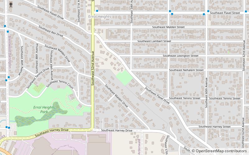
Hazeltine Park is a 1.02-acre park located at 5416 Southeast Flavel Drive, in Portland, Oregon's Brentwood-Darlington neighborhood, in the United States. The park, acquired in 2001, is named after Dick Hazeltine, who is considered the neighborhood's "founder". ()
Elevation: 246 ft a.s.l.Coordinates: 45°27'56"N, 122°36'28"W
Getting there by public transportation
Public transportation stops near this location
- Bus
 Bus
Bus
- Calculate routeSoutheast Flavel & 52nd 6 min walk
- Calculate routeSoutheast 45th & 46th/Nehalem 10 min walk
Day trips


Frequently Asked Questions (FAQ)
Which popular attractions are close to Hazeltine Park?
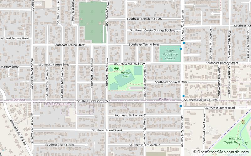
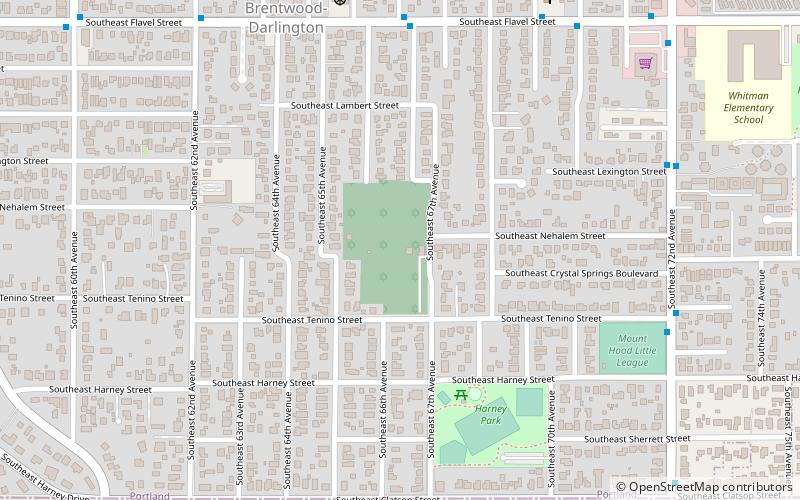
Nearby attractions include Errol Heights Park, Portland (8 min walk), Brentwood-Darlington, Portland (14 min walk), Congregation Shaarie Torah Cemetery, Portland (16 min walk), Harney Park, Portland (19 min walk).
How to get to Hazeltine Park by public transport?
The nearest stations to Hazeltine Park:
Bus
Bus
- Southeast Flavel & 52nd • Lines: 71 (6 min walk)
- Southeast 45th & 46th/Nehalem • Lines: 75 (10 min walk)