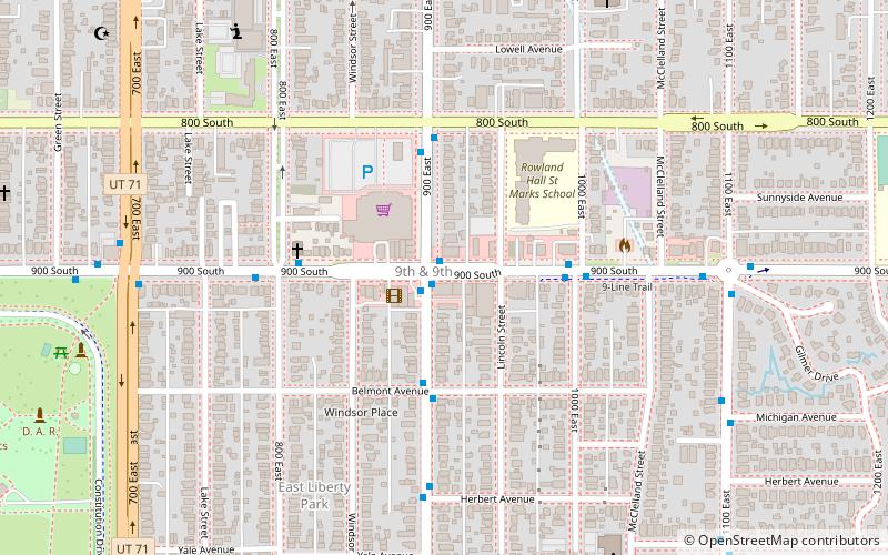
Perkins Addition, Salt Lake City
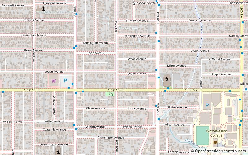
Map
Facts and practical information
The Perkins Addition was a 13-house development in Salt Lake City, Utah. Ten of its houses survived in 1983 and nine were each individually listed on the National Register of Historic Places. ()
Architectural style: Victorian architectureCoordinates: 40°44'3"N, 111°51'43"W
Address
Central Salt Lake City (East Liberty Park)Salt Lake City
ContactAdd
Social media
Add
Getting there by public transportation
Public transportation stops near this location
- Tram
 Tram
Tram
- Calculate routeFairmont 21 min walk
- Calculate routeSugarmont 21 min walk
- Calculate route700 East 24 min walk
- Calculate route500 East 30 min walk
Day trips


Frequently Asked Questions (FAQ)
Which popular attractions are close to Perkins Addition?
Nearby attractions include Third Presbyterian Church Parsonage, Salt Lake City (5 min walk), George Arbuckle House, Salt Lake City (10 min walk), Converse Hall, Salt Lake City (12 min walk), Granite Stake Tabernacle, Salt Lake City (14 min walk).
How to get to Perkins Addition by public transport?
The nearest stations to Perkins Addition:
Tram
Tram
- Fairmont • Lines: 720 (21 min walk)
- Sugarmont • Lines: 720 (21 min walk)