Banbury Oaks, La Cañada Flintridge
Map
Facts and practical information
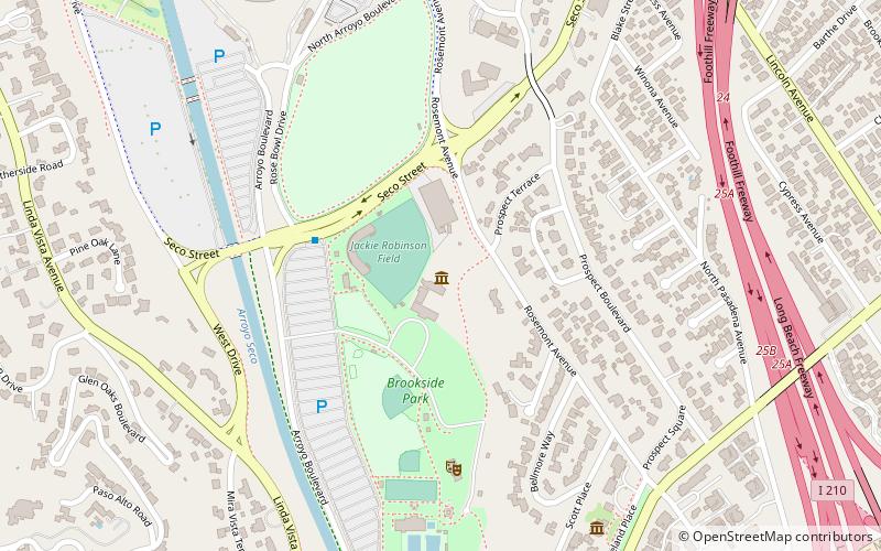
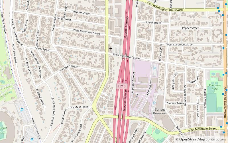
Banbury Oaks is a neighborhood in Pasadena, California. It is bordered by Washington Boulevard to the north, Mountain Street to the south, Fair Oaks Avenue to the East, and Forest Avenue to the west. The neighborhood is bisected by I-210. The main roads through the neighborhood are Hammond Street and Lincoln Avenue. ()
Coordinates: 34°9'54"N, 118°9'32"W
Address
Northwest Pasadena (Banbury Oaks)La Cañada Flintridge
ContactAdd
Social media
Add
Day trips
Banbury Oaks – popular in the area (distance from the attraction)
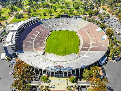
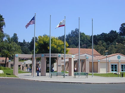
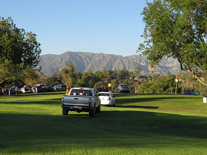
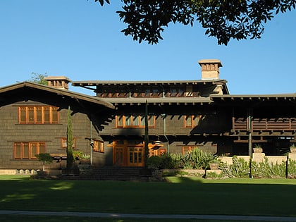
Nearby attractions include: Rose Bowl Stadium, Rose Bowl Aquatics Center, Brookside Golf Course, The Gamble House.
Frequently Asked Questions (FAQ)
Which popular attractions are close to Banbury Oaks?
Nearby attractions include Kosy Knook Court, La Cañada Flintridge (11 min walk), House at 1015 Prospect Boulevard, La Cañada Flintridge (12 min walk), Prospect Historic District, La Cañada Flintridge (13 min walk), La Pintoresca, La Cañada Flintridge (16 min walk).
How to get to Banbury Oaks by public transport?
The nearest stations to Banbury Oaks:
Light rail
Light rail
- Memorial Park • Lines: L (34 min walk)
