Barrio El Membrillo Historic District, Tucson
Map

Map

Facts and practical information
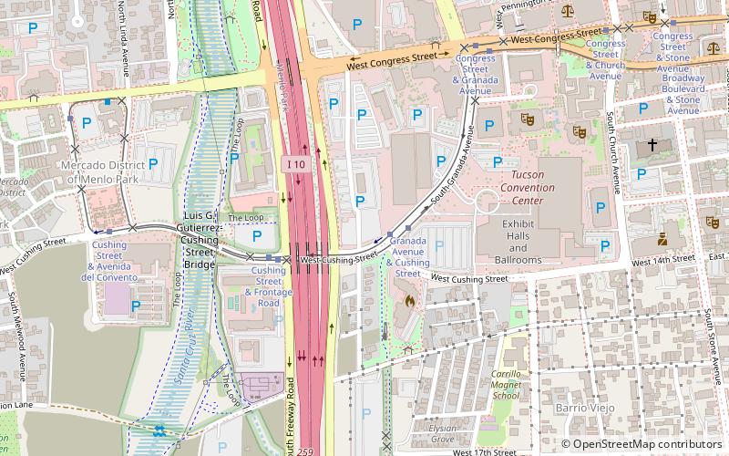
The Barrio El Membrillo Historic District in Tucson, Arizona was listed on the National Register of Historic Places in 2009. The district reflects "Sonoran Tradition", and includes 11 contributing buildings and two non-contributing ones on 4 acres. It is bounded by W. Granada St. on the north, W. Simpson St. on the south, and the right-of-way of the former El Paso & Southwestern railroad on the east. ()
Coordinates: 32°13'4"N, 110°58'42"W
Address
Central Tucson (Downtown Tucson)Tucson
ContactAdd
Social media
Add
Day trips
Barrio El Membrillo Historic District – popular in the area (distance from the attraction)
Nearby attractions include: Tucson Convention Center, Cathedral of Saint Augustine, Sentinel Peak, Fox Tucson Theatre.
Frequently Asked Questions (FAQ)
Which popular attractions are close to Barrio El Membrillo Historic District?
Nearby attractions include El Tiradito, Tucson (6 min walk), Sosa–Carrillo–Fremont House, Tucson (8 min walk), Museum of Contemporary Art, Tucson (10 min walk), Barrio Viejo, Tucson (11 min walk).
How to get to Barrio El Membrillo Historic District by public transport?
The nearest stations to Barrio El Membrillo Historic District:
Tram
Bus
Train
Tram
- Granada Avenue & Cushing Street • Lines: Sun Link (2 min walk)
- Congress Street & Granada Avenue • Lines: Sun Link (8 min walk)
Bus
- Ronstadt Transit Center • Lines: 1, 10 Nb, 10 Sb, 12, 16, 18, 19, 21, 23, 25 Nb, 3 Eb, 3 Wb, 4, 421, 8 (18 min walk)
- Tucson Greyhound Bus Depot (29 min walk)
Train
- Tucson (20 min walk)


