Central Ward, Newark
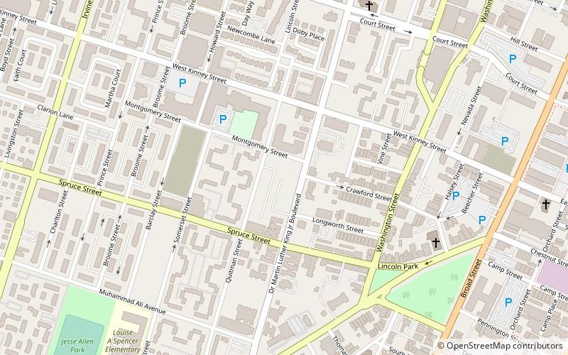
Map
Facts and practical information
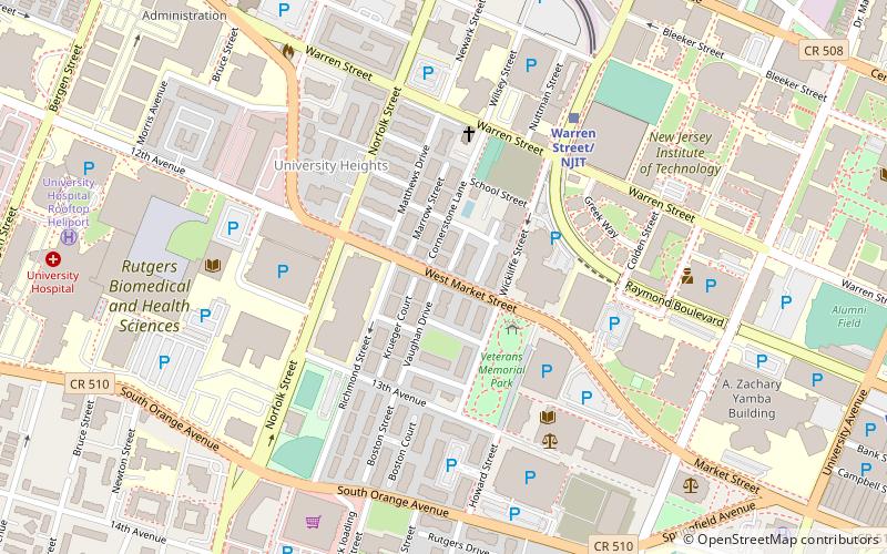
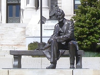
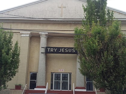
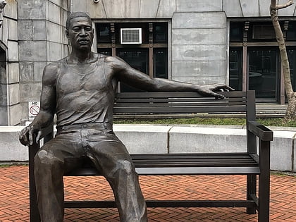
Central Ward is the heart of Newark. It was initially populated by Connecticut Puritans, became for a time primarily Jewish, and is currently primarily African-American. ()
Coordinates: 40°43'44"N, 74°10'59"W
Address
Springfield - BelmontNewark
ContactAdd
Social media
Add
Day trips
Central Ward – popular in the area (distance from the attraction)
Nearby attractions include: Prudential Center, Bethany Baptist Church, Grace Church, Newark City Hall.
Frequently Asked Questions (FAQ)
Which popular attractions are close to Central Ward?
Nearby attractions include Krueger Mansion, Newark (7 min walk), Catedral Evangelica Reformada, Newark (7 min walk), St. James' A. M. E. Church, Newark (8 min walk), St. Columba's Church, Newark (9 min walk).
How to get to Central Ward by public transport?
The nearest stations to Central Ward:
Bus
Light rail
Train
Metro
Bus
- Broad St & Market St • Lines: 62 (19 min walk)
- Newark Penn Bus Terminal (28 min walk)
Light rail
- Washington Street • Lines: Nlr (21 min walk)
- Military Park • Lines: Nlr (23 min walk)
Train
- Newark Penn Station (28 min walk)
Metro
- Newark Penn Station • Lines: Nwk–Wtc (28 min walk)

