Iroquois, Louisville

Map
Facts and practical information
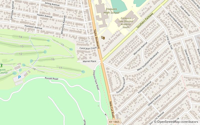
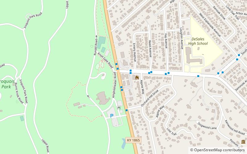
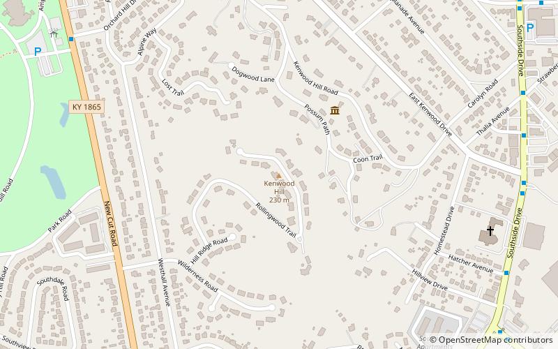
Iroquois is a neighborhood on the south side of Louisville, Kentucky, United States. It is split into two parts by Beechmont. The neighborhood is roughly bounded by Hazelwood Avenue, Beechmont, Third Street, Kenwood Drive, and Iroquois Park. Located near the Louisville International Airport, residents have frequently complained of noise and challenged airport expansion. The largely residential neighborhood was developed as a suburb after World War II and into the 1950s. ()
Coordinates: 38°10'11"N, 85°46'53"W
Address
South Side (Iroquois)Louisville
ContactAdd
Social media
Add
Day trips
Iroquois – popular in the area (distance from the attraction)
Nearby attractions include: Iroquois Park, Little Loomhouse, Colonial Gardens, South Louisville Reformed Church.
Frequently Asked Questions (FAQ)
Which popular attractions are close to Iroquois?
Nearby attractions include South Louisville Reformed Church, Louisville (15 min walk), Colonial Gardens, Louisville (16 min walk).
How to get to Iroquois by public transport?
The nearest stations to Iroquois:
Bus
Bus
- Kenwood / New Cut • Lines: 4 (15 min walk)
- Kenwood / Reed • Lines: 4, 4North Iroquois (16 min walk)


