Iroquois Park, Louisville
Map

Map

Facts and practical information
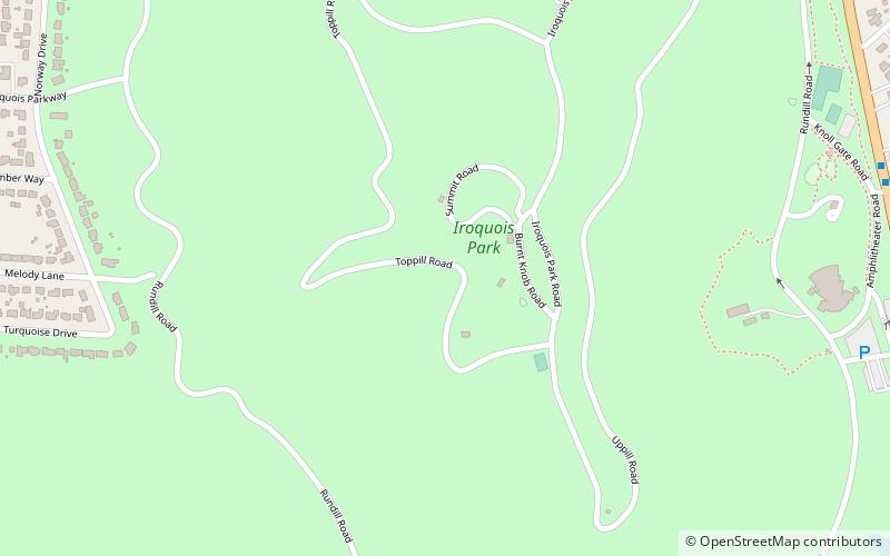
Iroquois Park is a 725-acre municipal park in Louisville, Kentucky, United States. It was designed by Frederick Law Olmsted, who also designed Louisville's Cherokee Park and Shawnee Park, at what were then the edges of the city. Located south of downtown, Iroquois Park was promoted as "Louisville's Yellowstone". It is built on a large knob covered with old growth forest, and its most prominent feature are the scenic viewpoints atop the hill. ()
Created: 1888Coordinates: 38°9'37"N, 85°47'16"W
Day trips
Iroquois Park – popular in the area (distance from the attraction)
Nearby attractions include: Little Loomhouse, Colonial Gardens, South Louisville Reformed Church, Iroquois.
Frequently Asked Questions (FAQ)
Which popular attractions are close to Iroquois Park?
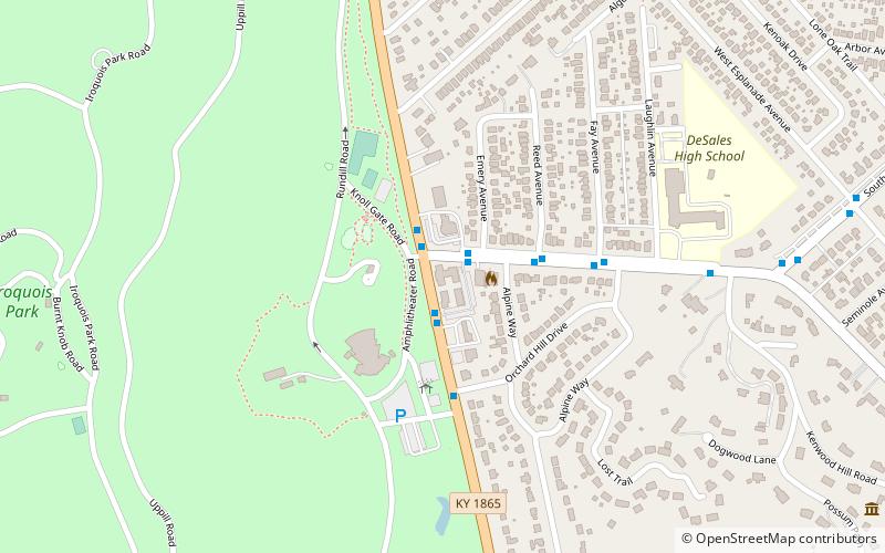
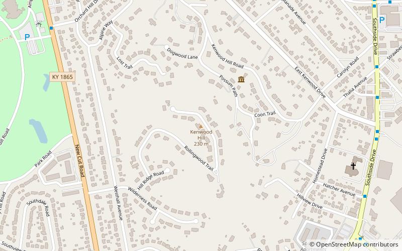
Nearby attractions include Colonial Gardens, Louisville (13 min walk), Iroquois, Louisville (19 min walk), Kenwood Hill, Louisville (23 min walk).
How to get to Iroquois Park by public transport?
The nearest stations to Iroquois Park:
Bus
Bus
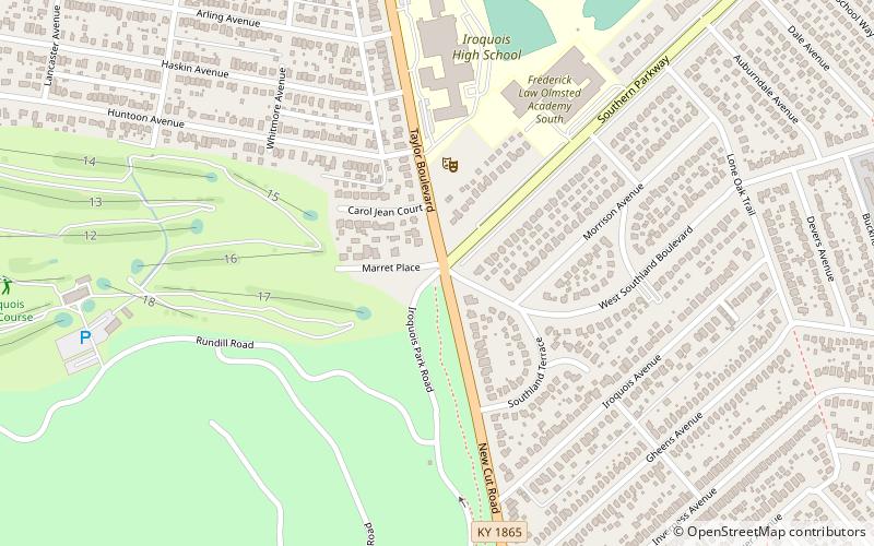
- New Cut / Iroquois Park • Lines: 4 (13 min walk)
- Kenwood / Reed • Lines: 4, 4North Iroquois (16 min walk)


