Butchertown, Louisville
Map

Gallery

Facts and practical information
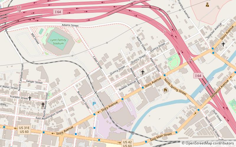
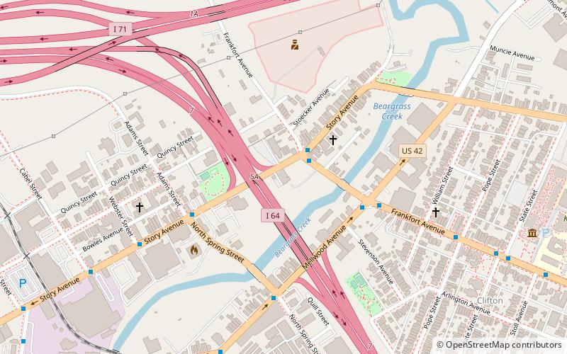
Butchertown is a neighborhood just east of downtown Louisville, Kentucky, United States, bounded by I-65, Main Street, I-71, Beargrass Creek and Mellwood Avenue. ()
Coordinates: 38°15'27"N, 85°43'42"W
Address
Central Louisville (Butchertown)Louisville
ContactAdd
Social media
Add
Day trips
Butchertown – popular in the area (distance from the attraction)
Nearby attractions include: Louisville Slugger Field, Louisville Waterfront Park, Highland Presbyterian Church, Schimpff's Confectionery.
Frequently Asked Questions (FAQ)
Which popular attractions are close to Butchertown?
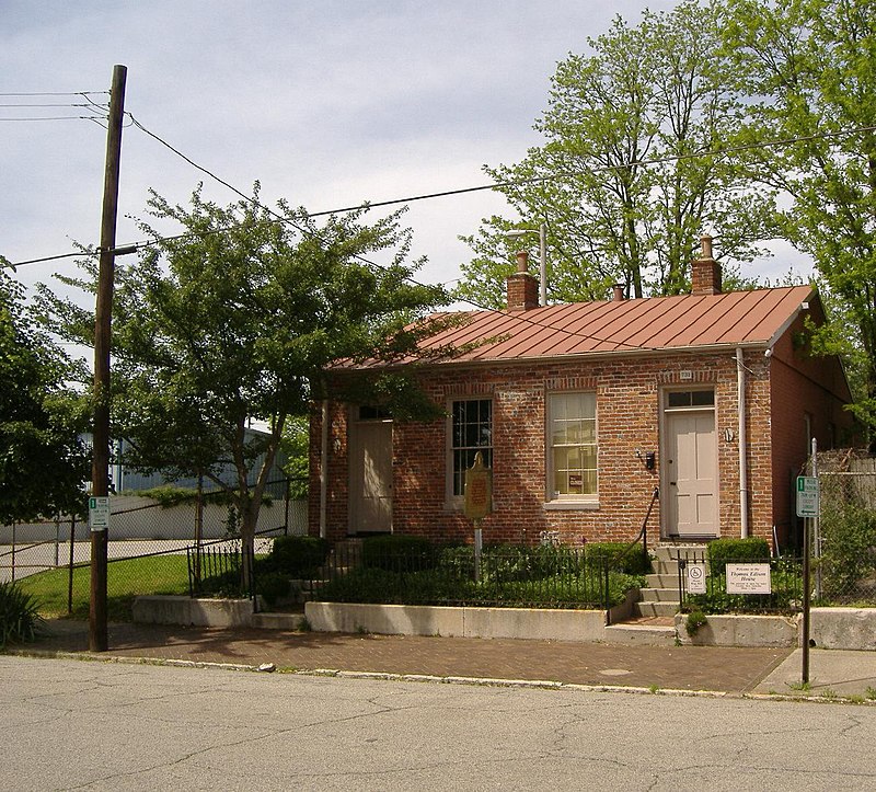
Nearby attractions include Story Avenue Park, Louisville (6 min walk), Irish Hill, Louisville (14 min walk), Thomas Edison House, Louisville (15 min walk), East Market District, Louisville (16 min walk).
How to get to Butchertown by public transport?
The nearest stations to Butchertown:
Bus
Bus
- Story / Cabel • Lines: 15West Chenoweth&VA, 15West LaGrange, 15West LimeKiln, 15West LimeKiln&VA (3 min walk)
- Story / Buchanan • Lines: 15West Bickel, 15West Chenoweth&VA, 15West LaGrange, 15West LimeKiln, 15West LimeKiln&VA (5 min walk)


