Treasure Island Development, San Francisco
Facts and practical information
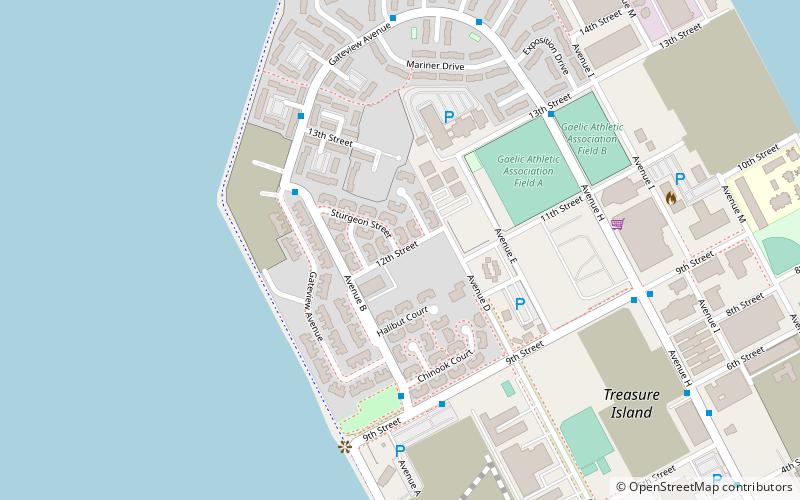
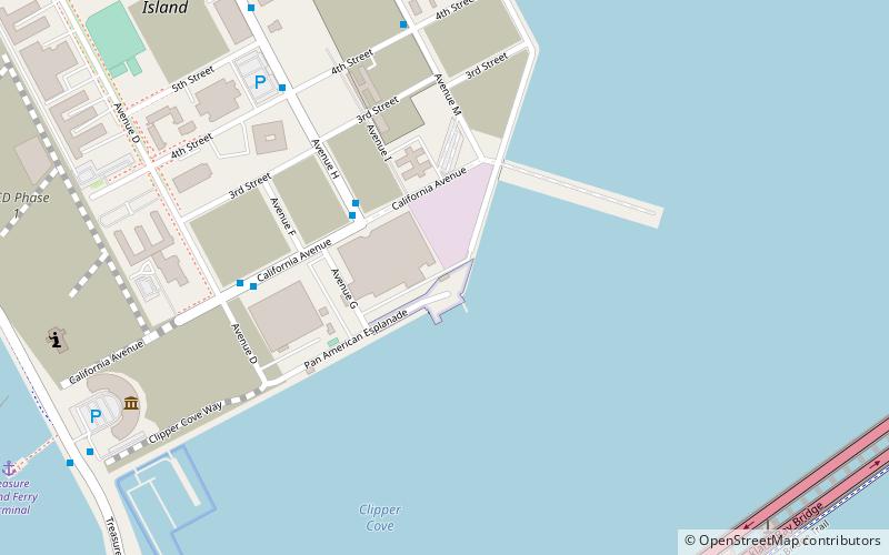
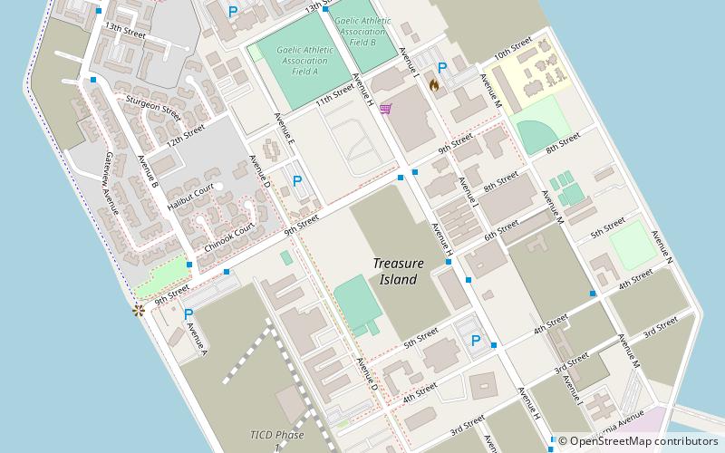
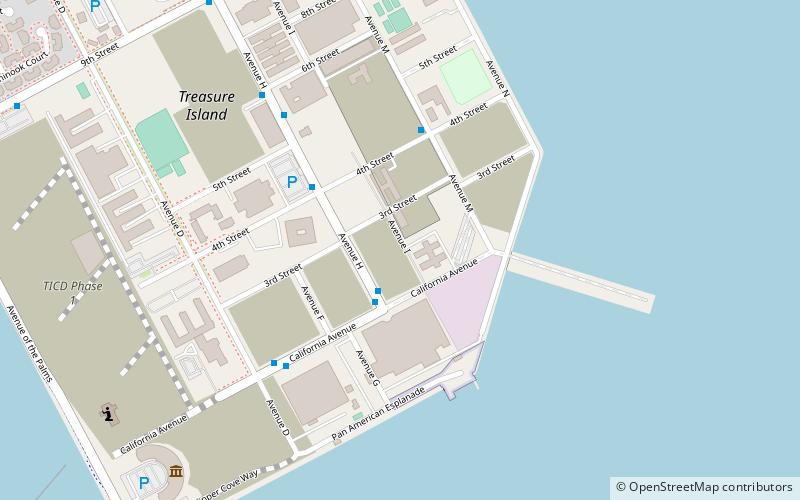
The Treasure Island Development is a 405-acre major redevelopment project under construction on Treasure Island and parts of Yerba Buena Island in San Francisco Bay between San Francisco and Oakland, within San Francisco city limits. The Treasure Island Development Authority is a nonprofit organization formed to oversee the economic development of the former naval station. Treasure Island's development was set to break ground during mid-2012. However, on April 12, 2013, The San Francisco Chronicle reported that the deal has collapsed, with the Chinese investors from China Development Bank and China Railway Construction Corporation withdrawing from the project. The Treasure Island Project is being developed by a joint venture between Lennar and Kenwood Investments. The development is expected to cost US$1.5 billion. ()
Treasure IslandSan Francisco
- Bus
 Bus
Bus
- Calculate routeAvenue B & Gateview Avenue 4 min walk
- Calculate route9th Street & Avenue B 5 min walk
- Calculate routeGateview Avenue & Mason Court 5 min walk
 Muni Metro


Frequently Asked Questions (FAQ)
Which popular attractions are close to Treasure Island Development?
How to get to Treasure Island Development by public transport?
Bus
- Avenue B & Gateview Avenue • Lines: 25 (4 min walk)
- 9th Street & Avenue B • Lines: 25 (5 min walk)