Peretz Square, New York City
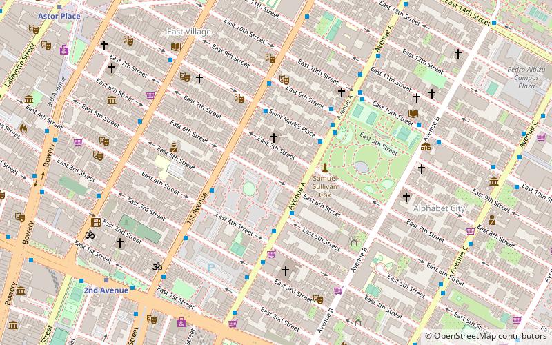
Map
Map

Facts and practical information
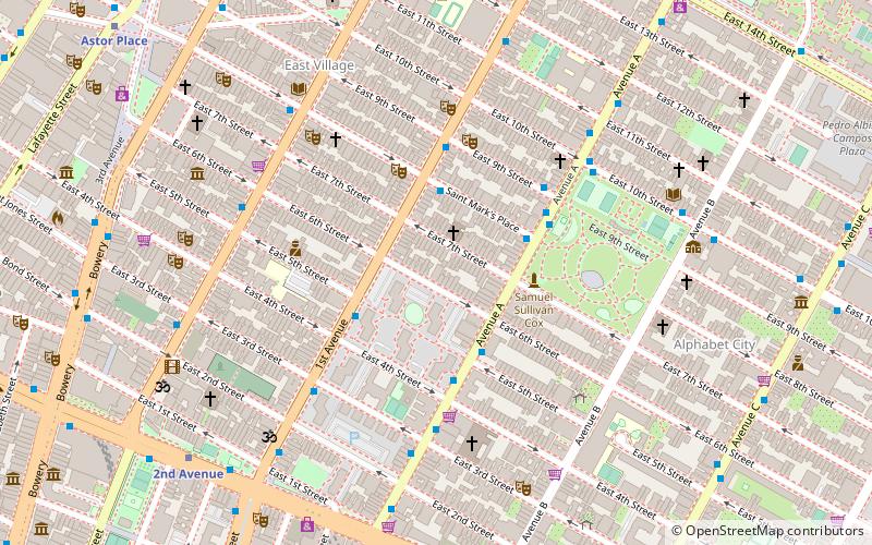
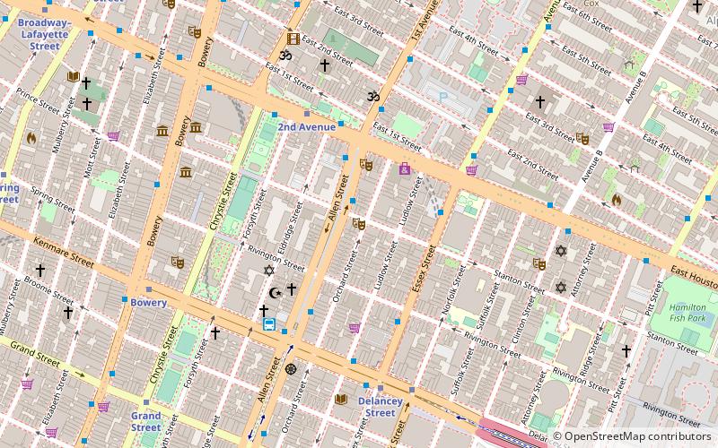
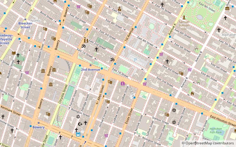
Peretz Square is a public park in Lower Manhattan, New York City, which marks the spot where Houston Street, First Avenue, and First Street meet. Peretz Square marks the spot where the smaller grid of the Lower East Side meets the grand regularity of the Commissioners' Plan street grid of 1811. ()
Elevation: 33 ft a.s.l.Coordinates: 40°43'23"N, 73°59'17"W
Day trips
Peretz Square – popular in the area (distance from the attraction)
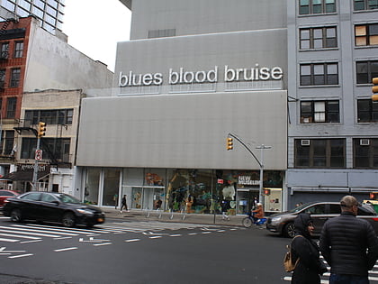
Nearby attractions include: Mercury Lounge, Pianos, New Museum, Death & Co..
Frequently Asked Questions (FAQ)
Which popular attractions are close to Peretz Square?
Nearby attractions include Orchard Street, New York City (1 min walk), The Slipper Room, New York City (3 min walk), Arlene's Grocery, New York City (3 min walk), New York City Marble Cemetery, New York City (4 min walk).
How to get to Peretz Square by public transport?
The nearest stations to Peretz Square:
Bus
Metro
Bus
- 1st Avenue & East 1st Street • Lines: M15, M15-Sbs (1 min walk)
- Allen Street & East Houston Street • Lines: M15, M15-Sbs (2 min walk)
Metro
- 2nd Avenue • Lines: <F>, F (3 min walk)
- Delancey Street • Lines: <F>, F (8 min walk)

 Subway
 Manhattan Buses

