First Avenue, New York City
Map
Gallery
Facts and practical information
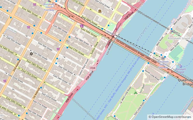
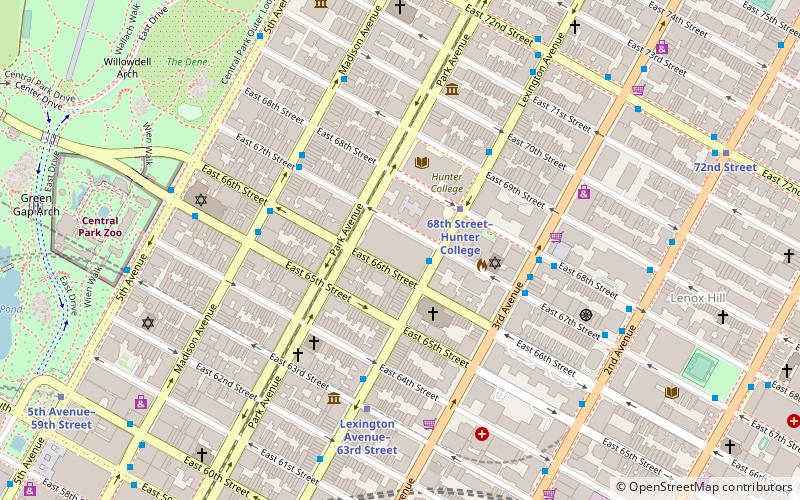
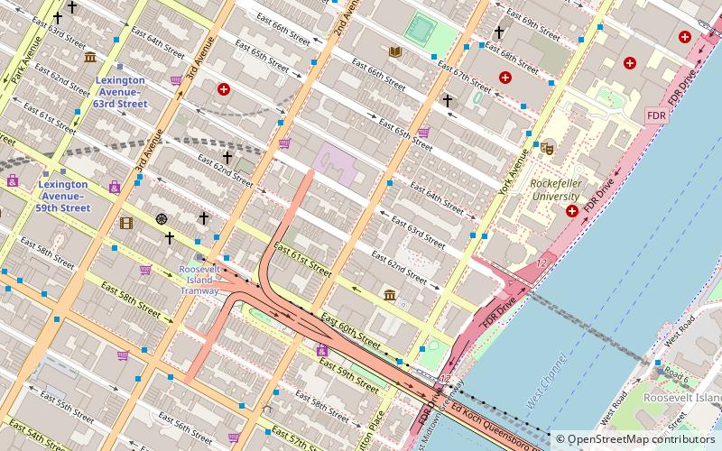
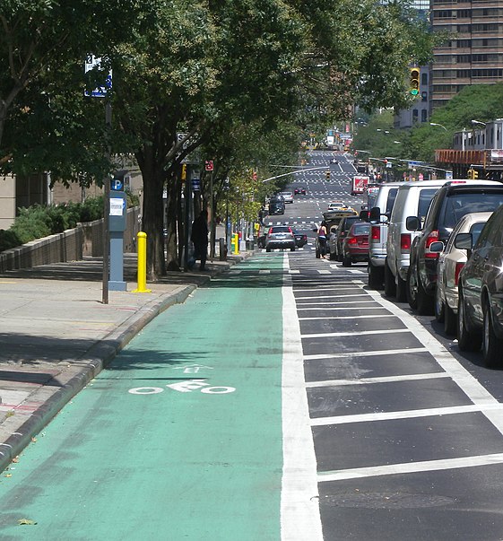
First Avenue is a north-south thoroughfare on the East Side of the New York City borough of Manhattan, running from Houston Street northbound to 127th Street. At 125th Street, most traffic continues onto the Willis Avenue Bridge over the Harlem River, which continues into the Bronx. South of Houston Street, the roadway continues as Allen Street south to Division Street. Traffic on First Avenue runs northbound only. ()
Address
Upper Manhattan (Upper East Side)New York City
ContactAdd
Social media
Add
Day trips
First Avenue – popular in the area (distance from the attraction)
Nearby attractions include: Roosevelt Island Tramway, 520 Park Avenue, Society of Illustrators, 731 Lexington Avenue.
Frequently Asked Questions (FAQ)
Which popular attractions are close to First Avenue?
Nearby attractions include Mount Vernon Hotel Museum, New York City (3 min walk), Church of Our Lady of Peace, New York City (5 min walk), Roosevelt Island Tramway, New York City (5 min walk), Church of St. John Nepomucene, New York City (5 min walk).
How to get to First Avenue by public transport?
The nearest stations to First Avenue:
Bus
Metro
Train
Bus
- 2 Av/E 64 St • Lines: M15 (5 min walk)
- York Avenue & East 60th Street • Lines: M31 (5 min walk)
Metro
- Lexington Avenue–63rd Street • Lines: <F>, F, Q (9 min walk)
- Lexington Avenue–59th Street • Lines: N, R, W (9 min walk)
Train
- Grand Central Terminal (28 min walk)

 Subway
 Manhattan Buses
